Verneuil, Charente
Verneuil | |
|---|---|
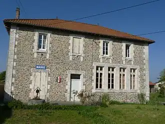 Town hall | |
Location of Verneuil | |
 Verneuil  Verneuil | |
| Coordinates: 45°46′56″N 0°41′43″E / 45.7822°N 0.6953°E | |
| Country | France |
| Region | Nouvelle-Aquitaine |
| Department | Charente |
| Arrondissement | Confolens |
| Canton | Charente-Bonnieure |
| Government | |
| • Mayor (2020–2026) | Christine Gondariz[1] |
Area 1 | 7.70 km2 (2.97 sq mi) |
| Population (2022)[2] | 94 |
| • Density | 12/km2 (32/sq mi) |
| Time zone | UTC+01:00 (CET) |
| • Summer (DST) | UTC+02:00 (CEST) |
| INSEE/Postal code | 16398 /16310 |
| Elevation | 217–298 m (712–978 ft) (avg. 270 m or 890 ft) |
| 1 French Land Register data, which excludes lakes, ponds, glaciers > 1 km2 (0.386 sq mi or 247 acres) and river estuaries. | |
Verneuil (French pronunciation: [vɛʁnœj]) is a commune in the Charente department in southwestern France. It lies near the Lac de Lavaud, an artificial lake created by a dam in the river Charente, built in 1988.[3]
Population
| Year | Pop. | ±% p.a. |
|---|---|---|
| 1968 | 137 | — |
| 1975 | 121 | −1.76% |
| 1982 | 105 | −2.01% |
| 1990 | 102 | −0.36% |
| 1999 | 85 | −2.01% |
| 2009 | 95 | +1.12% |
| 2014 | 97 | +0.42% |
| 2020 | 99 | +0.34% |
| Source: INSEE[4] | ||
See also
References
- ^ "Répertoire national des élus: les maires". data.gouv.fr, Plateforme ouverte des données publiques françaises (in French). 2 December 2020.
- ^ "Populations de référence 2022" (in French). The National Institute of Statistics and Economic Studies. 19 December 2024.
- ^ Présentation du barrage de Lavaud, EPTB Charente
- ^ Population en historique depuis 1968, INSEE
Wikimedia Commons has media related to Verneuil (Charente).