Chapeiry
Chapeiry | |
|---|---|
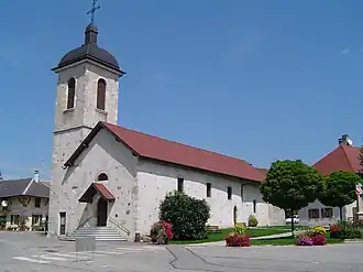 The church in Chapeiry | |
Location of Chapeiry | |
 Chapeiry  Chapeiry | |
| Coordinates: 45°46′26″N 6°02′18″E / 45.7739°N 6.0383°E | |
| Country | France |
| Region | Auvergne-Rhône-Alpes |
| Department | Haute-Savoie |
| Arrondissement | Annecy |
| Canton | Rumilly |
| Intercommunality | CA Grand Annecy |
| Government | |
| • Mayor (2020–2026) | Gilles Ardin[1] |
Area 1 | 5.76 km2 (2.22 sq mi) |
| Population (2022)[2] | 982 |
| • Density | 170/km2 (440/sq mi) |
| Demonym | Chapériens |
| Time zone | UTC+01:00 (CET) |
| • Summer (DST) | UTC+02:00 (CEST) |
| INSEE/Postal code | 74061 /74540 |
| Elevation | 420–725 m (1,378–2,379 ft) |
| 1 French Land Register data, which excludes lakes, ponds, glaciers > 1 km2 (0.386 sq mi or 247 acres) and river estuaries. | |
Chapeiry (French pronunciation: [ʃapɛʁi] ⓘ; Arpitan: Chapèri, before 1984: Chapery)[3] is a commune in the Haute-Savoie department in the Auvergne-Rhône-Alpes region in south-eastern France.
See also
References
- ^ "Répertoire national des élus: les maires". data.gouv.fr, Plateforme ouverte des données publiques françaises (in French). 2 December 2020.
- ^ "Populations de référence 2022" (in French). The National Institute of Statistics and Economic Studies. 19 December 2024.
- ^ Décret du 13 novembre 1984 portant changement de nom de communes, Journal officiel de la République française n° 0270, 18 November 1984, p. 10523.
Wikimedia Commons has media related to Chapeiry.