Lahitère
Lahitère | |
|---|---|
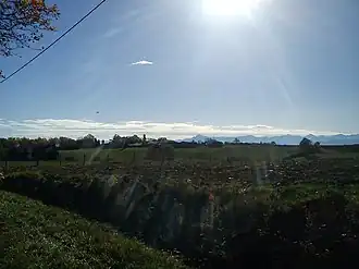 A general view of Lahitère | |
Location of Lahitère | |
 Lahitère  Lahitère | |
| Coordinates: 43°08′24″N 1°11′35″E / 43.14°N 1.1931°E | |
| Country | France |
| Region | Occitania |
| Department | Haute-Garonne |
| Arrondissement | Muret |
| Canton | Auterive |
| Government | |
| • Mayor (2020–2026) | René Audoubert[1] |
Area 1 | 3.9 km2 (1.5 sq mi) |
| Population (2022)[2] | 53 |
| • Density | 14/km2 (35/sq mi) |
| Time zone | UTC+01:00 (CET) |
| • Summer (DST) | UTC+02:00 (CEST) |
| INSEE/Postal code | 31267 /31310 |
| Elevation | 340–506 m (1,115–1,660 ft) (avg. 450 m or 1,480 ft) |
| 1 French Land Register data, which excludes lakes, ponds, glaciers > 1 km2 (0.386 sq mi or 247 acres) and river estuaries. | |
Lahitère (French pronunciation: [la.itɛʁ]; Occitan: La Hitèra) is a commune in the Haute-Garonne department in southwestern France.
Geography
The commune is bordered by three other communes, two of them is in Haute-Garonne, and one in Ariège: Montesquieu-Volvestre to the east, Montberaud to the northwest, and finally by the department of Ariège to the southwest by the commune of Sainte-Croix-Volvestre.
Population
| Year | Pop. | ±% |
|---|---|---|
| 1962 | 31 | — |
| 1968 | 49 | +58.1% |
| 1975 | 46 | −6.1% |
| 1982 | 50 | +8.7% |
| 1990 | 33 | −34.0% |
| 1999 | 38 | +15.2% |
| 2008 | 54 | +42.1% |
See also
Communes of the Haute-Garonne department
References
- ^ "Répertoire national des élus: les maires". data.gouv.fr, Plateforme ouverte des données publiques françaises (in French). 2 December 2020.
- ^ "Populations de référence 2022" (in French). The National Institute of Statistics and Economic Studies. 19 December 2024.
Wikimedia Commons has media related to Lahitère.