Maniquerville
Maniquerville | |
|---|---|
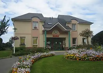 The town hall in Maniquerville | |
.svg.png) Coat of arms | |
Location of Maniquerville | |
 Maniquerville  Maniquerville | |
| Coordinates: 49°41′35″N 0°20′39″E / 49.6931°N 0.3442°E | |
| Country | France |
| Region | Normandy |
| Department | Seine-Maritime |
| Arrondissement | Le Havre |
| Canton | Fécamp |
| Intercommunality | CA Fécamp Caux Littoral |
| Government | |
| • Mayor (2020–2026) | Céline Leconte |
Area 1 | 2.55 km2 (0.98 sq mi) |
| Population (2022)[1] | 420 |
| • Density | 160/km2 (430/sq mi) |
| Time zone | UTC+01:00 (CET) |
| • Summer (DST) | UTC+02:00 (CEST) |
| INSEE/Postal code | 76406 /76400 |
| Elevation | 82–119 m (269–390 ft) (avg. 100 m or 330 ft) |
| 1 French Land Register data, which excludes lakes, ponds, glaciers > 1 km2 (0.386 sq mi or 247 acres) and river estuaries. | |
Maniquerville (French pronunciation: [manikɛʁvil]) is a commune in the Seine-Maritime department in the Normandy region in northern France.
Geography
A farming village in the Pays de Caux, some 15 miles (24 km) northeast of Le Havre, at the junction of the D11 and D279 roads.
Population
| Year | Pop. | ±% p.a. |
|---|---|---|
| 1968 | 234 | — |
| 1975 | 247 | +0.78% |
| 1982 | 375 | +6.15% |
| 1990 | 348 | −0.93% |
| 1999 | 304 | −1.49% |
| 2007 | 446 | +4.91% |
| 2012 | 420 | −1.19% |
| 2017 | 411 | −0.43% |
| Source: INSEE[2] | ||
Places of interest
- The church of St.Martin, dating from the sixteenth century.
See also
References
- ^ "Populations de référence 2022" (in French). The National Institute of Statistics and Economic Studies. 19 December 2024.
- ^ Population en historique depuis 1968, INSEE
External links
Wikimedia Commons has media related to Maniquerville.
- Official website (in French)