Nolléval
Nolléval | |
|---|---|
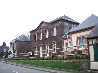 The town hall in Nolléval | |
.svg.png) Coat of arms | |
Location of Nolléval | |
 Nolléval  Nolléval | |
| Coordinates: 49°29′41″N 1°28′56″E / 49.4947°N 1.4822°E | |
| Country | France |
| Region | Normandy |
| Department | Seine-Maritime |
| Arrondissement | Dieppe |
| Canton | Gournay-en-Bray |
| Intercommunality | CC 4 rivières |
| Government | |
| • Mayor (2020–2026) | Karine Lemoine[1] |
Area 1 | 9.93 km2 (3.83 sq mi) |
| Population (2022)[2] | 417 |
| • Density | 42/km2 (110/sq mi) |
| Time zone | UTC+01:00 (CET) |
| • Summer (DST) | UTC+02:00 (CEST) |
| INSEE/Postal code | 76469 /76780 |
| Elevation | 71–206 m (233–676 ft) (avg. 82 m or 269 ft) |
| 1 French Land Register data, which excludes lakes, ponds, glaciers > 1 km2 (0.386 sq mi or 247 acres) and river estuaries. | |
Nolléval (French pronunciation: [nɔleval]) is a commune in the Seine-Maritime department in the Normandy region in north-western France.
Geography
A forestry and farming village situated by the banks of the river Andelle in the Pays de Bray, at the junction of the D 921, D 38 and D 262 roads, some 16 miles (26 km) east of Rouen.
Population
| Year | Pop. | ±% p.a. |
|---|---|---|
| 1968 | 412 | — |
| 1975 | 402 | −0.35% |
| 1982 | 347 | −2.08% |
| 1990 | 335 | −0.44% |
| 1999 | 303 | −1.11% |
| 2007 | 400 | +3.53% |
| 2012 | 431 | +1.50% |
| 2017 | 447 | +0.73% |
| Source: INSEE[3] | ||
Places of interest
- The church of St. Aubin, dating from the thirteenth century.
- The church of St.Martin, at the hamlet of Boulay, dating from the seventeenth century.
- The thirteenth century chapel at Montagny.
See also
References
- ^ Liste des maires du département de la Seine-Maritime, 10 August 2020
- ^ "Populations de référence 2022" (in French). The National Institute of Statistics and Economic Studies. 19 December 2024.
- ^ Population en historique depuis 1968, INSEE
Wikimedia Commons has media related to Nolléval.