Rantzwiller
Rantzwiller | |
|---|---|
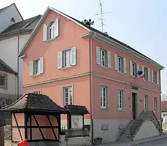 The town hall in Rantzwiller | |
.svg.png) Coat of arms | |
Location of Rantzwiller | |
 Rantzwiller  Rantzwiller | |
| Coordinates: 47°39′08″N 7°22′39″E / 47.6522°N 7.3775°E | |
| Country | France |
| Region | Grand Est |
| Department | Haut-Rhin |
| Arrondissement | Mulhouse |
| Canton | Brunstatt-Didenheim |
| Intercommunality | Saint-Louis Agglomération |
| Government | |
| • Mayor (2020–2026) | Clément Sibold[1] |
Area 1 | 5.47 km2 (2.11 sq mi) |
| Population (2022)[2] | 801 |
| • Density | 150/km2 (380/sq mi) |
| Time zone | UTC+01:00 (CET) |
| • Summer (DST) | UTC+02:00 (CEST) |
| INSEE/Postal code | 68265 /68510 |
| Elevation | 292–358 m (958–1,175 ft) (avg. 300 m or 980 ft) |
| 1 French Land Register data, which excludes lakes, ponds, glaciers > 1 km2 (0.386 sq mi or 247 acres) and river estuaries. | |
Rantzwiller (German: Rantsweiler) is a commune in the Haut-Rhin department in Alsace in north-eastern France.
See also
References
- ^ "Répertoire national des élus: les maires". data.gouv.fr, Plateforme ouverte des données publiques françaises (in French). 2 December 2020.
- ^ "Populations de référence 2022" (in French). The National Institute of Statistics and Economic Studies. 19 December 2024.
Wikimedia Commons has media related to Rantzwiller.