Troyte River
| Troyte River | |
|---|---|
Route of the Troyte River | |
 Mouth of the Troyte River .png) Troyte River (New Zealand) | |
| Location | |
| Country | New Zealand |
| Region | West Coast |
| District | Westland |
| Physical characteristics | |
| Source | Hooker Range |
| • location | Southern Alps / Kā Tiritiri o te Moana |
| • coordinates | 43°44′21″S 169°55′12″E / 43.7391°S 169.92°E |
| Mouth | Karangarua River |
• coordinates | 43°42′52″S 169°53′28″E / 43.7144°S 169.8912°E |
| Length | 6 kilometres (3.7 mi) |
| Basin features | |
| Progression | Troyte River → Karangarua River → Tasman Sea |
| River system | Karangarua River |
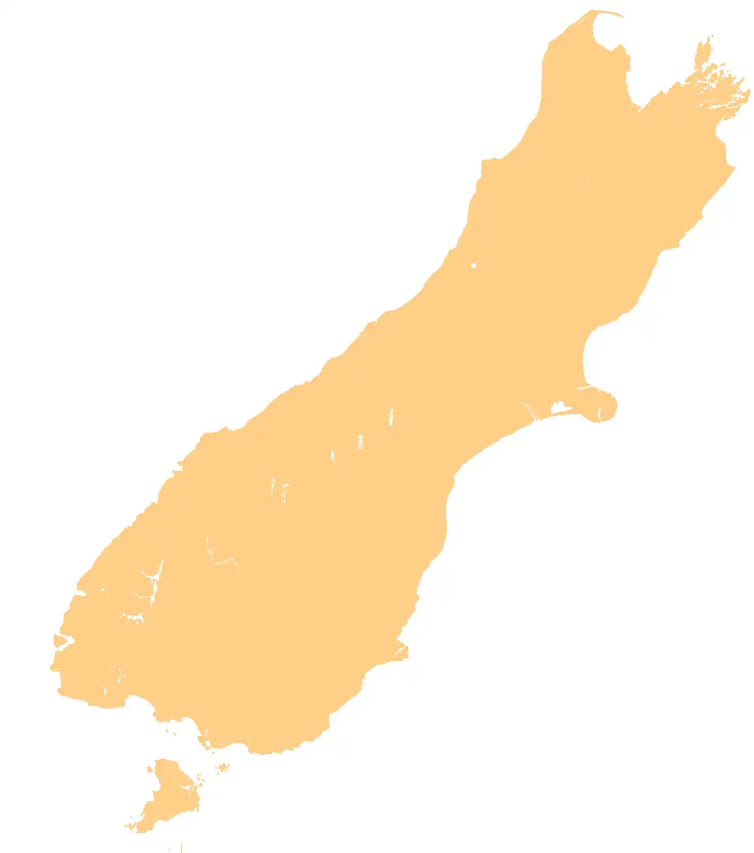
The Troyte River is a river of the West Coast region of New Zealand's South Island. It rises in the Hooker Range, 15 kilometres west of Aoraki / Mount Cook, flowing west then north to reach the Karangarua River.[1]
See also
References
- ^ "Place name detail: Troyte River". New Zealand Gazetteer. Land Information New Zealand. Retrieved 25 June 2010.