Brannens
Brannens | |
|---|---|
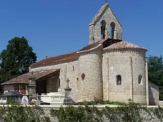 The church in Brannens | |
Location of Brannens | |
 Brannens  Brannens | |
| Coordinates: 44°31′18″N 0°09′06″W / 44.5217°N 0.1517°W | |
| Country | France |
| Region | Nouvelle-Aquitaine |
| Department | Gironde |
| Arrondissement | Langon |
| Canton | Le Réolais et Les Bastides |
| Government | |
| • Mayor (2020–2026) | Yannick Duffau[1] |
Area 1 | 6.04 km2 (2.33 sq mi) |
| Population (2022)[2] | 259 |
| • Density | 43/km2 (110/sq mi) |
| Time zone | UTC+01:00 (CET) |
| • Summer (DST) | UTC+02:00 (CEST) |
| INSEE/Postal code | 33072 /33124 |
| Elevation | 15–65 m (49–213 ft) (avg. 54 m or 177 ft) |
| 1 French Land Register data, which excludes lakes, ponds, glaciers > 1 km2 (0.386 sq mi or 247 acres) and river estuaries. | |
Brannens is a commune in the Gironde department in Nouvelle-Aquitaine in southwestern France.
Population
| Year | Pop. | ±% |
|---|---|---|
| 1962 | 151 | — |
| 1968 | 178 | +17.9% |
| 1975 | 162 | −9.0% |
| 1982 | 176 | +8.6% |
| 1990 | 193 | +9.7% |
| 1999 | 173 | −10.4% |
| 2008 | 219 | +26.6% |
See also
References
- ^ "Répertoire national des élus: les maires". data.gouv.fr, Plateforme ouverte des données publiques françaises (in French). 2 December 2020.
- ^ "Populations de référence 2022" (in French). The National Institute of Statistics and Economic Studies. 19 December 2024.
Wikimedia Commons has media related to Brannens.