Donnezac
Donnezac | |
|---|---|
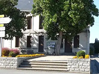 The town hall in Donnezac | |
Location of Donnezac | |
 Donnezac  Donnezac | |
| Coordinates: 45°14′55″N 0°26′32″W / 45.2486°N 0.4422°W | |
| Country | France |
| Region | Nouvelle-Aquitaine |
| Department | Gironde |
| Arrondissement | Blaye |
| Canton | Le Nord-Gironde |
| Government | |
| • Mayor (2020–2026) | Jean-François Joyé[1] |
Area 1 | 35.75 km2 (13.80 sq mi) |
| Population (2022)[2] | 929 |
| • Density | 26/km2 (67/sq mi) |
| Time zone | UTC+01:00 (CET) |
| • Summer (DST) | UTC+02:00 (CEST) |
| INSEE/Postal code | 33151 /33860 |
| Elevation | 23–82 m (75–269 ft) (avg. 52 m or 171 ft) |
| 1 French Land Register data, which excludes lakes, ponds, glaciers > 1 km2 (0.386 sq mi or 247 acres) and river estuaries. | |
Donnezac (French pronunciation: [dɔnzak]) is a commune in the Gironde department in southwestern France.
Population
| Year | Pop. | ±% |
|---|---|---|
| 1962 | 777 | — |
| 1968 | 825 | +6.2% |
| 1975 | 763 | −7.5% |
| 1982 | 781 | +2.4% |
| 1990 | 780 | −0.1% |
| 1999 | 778 | −0.3% |
| 2008 | 832 | +6.9% |
See also
References
- ^ "Répertoire national des élus: les maires". data.gouv.fr, Plateforme ouverte des données publiques françaises (in French). 9 August 2021.
- ^ "Populations de référence 2022" (in French). The National Institute of Statistics and Economic Studies. 19 December 2024.
Wikimedia Commons has media related to Donnezac.