Daignac
Daignac | |
|---|---|
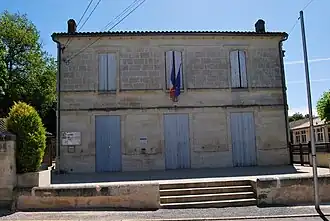 The town hall in Daignac | |
Location of Daignac | |
 Daignac  Daignac | |
| Coordinates: 44°48′01″N 0°14′54″W / 44.8003°N 0.2483°W | |
| Country | France |
| Region | Nouvelle-Aquitaine |
| Department | Gironde |
| Arrondissement | Libourne |
| Canton | Les Coteaux de Dordogne |
| Intercommunality | CA Libournais |
| Government | |
| • Mayor (2020–2026) | Michel Massias[1] |
Area 1 | 5.73 km2 (2.21 sq mi) |
| Population (2022)[2] | 470 |
| • Density | 82/km2 (210/sq mi) |
| Time zone | UTC+01:00 (CET) |
| • Summer (DST) | UTC+02:00 (CEST) |
| INSEE/Postal code | 33147 /33420 |
| Elevation | 16–86 m (52–282 ft) (avg. 77 m or 253 ft) |
| 1 French Land Register data, which excludes lakes, ponds, glaciers > 1 km2 (0.386 sq mi or 247 acres) and river estuaries. | |
Daignac is a commune in the Gironde department in southwestern France.
Population
| Year | Pop. | ±% p.a. |
|---|---|---|
| 1968 | 411 | — |
| 1975 | 364 | −1.72% |
| 1982 | 364 | +0.00% |
| 1990 | 361 | −0.10% |
| 1999 | 406 | +1.31% |
| 2007 | 473 | +1.93% |
| 2012 | 471 | −0.08% |
| 2017 | 476 | +0.21% |
| Source: INSEE[3] | ||
See also
References
- ^ "Répertoire national des élus: les maires". data.gouv.fr, Plateforme ouverte des données publiques françaises (in French). 9 August 2021.
- ^ "Populations de référence 2022" (in French). The National Institute of Statistics and Economic Studies. 19 December 2024.
- ^ Population en historique depuis 1968, INSEE
Wikimedia Commons has media related to Daignac.