Sainte-Terre
Sainte-Terre | |
|---|---|
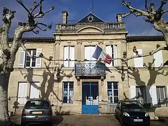 Town hall | |
.svg.png) Coat of arms | |
Location of Sainte-Terre | |
 Sainte-Terre  Sainte-Terre | |
| Coordinates: 44°49′44″N 0°06′41″W / 44.8289°N 0.1114°W | |
| Country | France |
| Region | Nouvelle-Aquitaine |
| Department | Gironde |
| Arrondissement | Libourne |
| Canton | Les Coteaux de Dordogne |
| Government | |
| • Mayor (2021–2026) | Agnès Alfonso-Chariol[1] |
Area 1 | 13.93 km2 (5.38 sq mi) |
| Population (2022)[2] | 1,890 |
| • Density | 140/km2 (350/sq mi) |
| Time zone | UTC+01:00 (CET) |
| • Summer (DST) | UTC+02:00 (CEST) |
| INSEE/Postal code | 33485 /33350 |
| Elevation | 2–16 m (6.6–52.5 ft) (avg. 10 m or 33 ft) |
| 1 French Land Register data, which excludes lakes, ponds, glaciers > 1 km2 (0.386 sq mi or 247 acres) and river estuaries. | |
Sainte-Terre (French pronunciation: [sɛ̃t tɛʁ]; Occitan: Senta Tèrra) is a commune in the Gironde department in Nouvelle-Aquitaine in southwestern France.
Population
| Year | Pop. | ±% |
|---|---|---|
| 1962 | 1,406 | — |
| 1968 | 1,407 | +0.1% |
| 1975 | 1,355 | −3.7% |
| 1982 | 1,416 | +4.5% |
| 1990 | 1,564 | +10.5% |
| 1999 | 1,635 | +4.5% |
| 2008 | 1,772 | +8.4% |
See also
References
- ^ "Répertoire national des élus: les maires". data.gouv.fr, Plateforme ouverte des données publiques françaises (in French). 1 February 2022.
- ^ "Populations de référence 2022" (in French). The National Institute of Statistics and Economic Studies. 19 December 2024.
Wikimedia Commons has media related to Sainte-Terre.