Compolibat
Compolibat | |
|---|---|
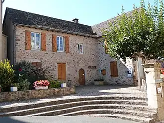 The town hall in Compolibat | |
Location of Compolibat | |
 Compolibat  Compolibat | |
| Coordinates: 44°22′43″N 2°11′45″E / 44.3786°N 2.1958°E | |
| Country | France |
| Region | Occitania |
| Department | Aveyron |
| Arrondissement | Villefranche-de-Rouergue |
| Canton | Villeneuvois et Villefranchois |
| Intercommunality | Plateau de Montbazens |
| Government | |
| • Mayor (2020–2026) | Francis Deleris[1] |
Area 1 | 17.04 km2 (6.58 sq mi) |
| Population (2022)[2] | 334 |
| • Density | 20/km2 (51/sq mi) |
| Time zone | UTC+01:00 (CET) |
| • Summer (DST) | UTC+02:00 (CEST) |
| INSEE/Postal code | 12071 /12350 |
| Elevation | 350–664 m (1,148–2,178 ft) (avg. 530 m or 1,740 ft) |
| 1 French Land Register data, which excludes lakes, ponds, glaciers > 1 km2 (0.386 sq mi or 247 acres) and river estuaries. | |
Compolibat (French pronunciation: [kɔ̃pɔliba]; Occitan: Complibat) is a commune in the Aveyron department in southern France.
Population
| Year | Pop. | ±% |
|---|---|---|
| 1962 | 544 | — |
| 1968 | 556 | +2.2% |
| 1975 | 508 | −8.6% |
| 1982 | 472 | −7.1% |
| 1990 | 469 | −0.6% |
| 1999 | 405 | −13.6% |
| 2008 | 402 | −0.7% |
See also
References
- ^ "Répertoire national des élus: les maires". data.gouv.fr, Plateforme ouverte des données publiques françaises (in French). 9 August 2021.
- ^ "Populations de référence 2022" (in French). The National Institute of Statistics and Economic Studies. 19 December 2024.
Wikimedia Commons has media related to Compolibat.