Lanhères
Lanhères | |
|---|---|
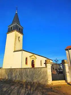 The church in Lanhères | |
.svg.png) Coat of arms | |
Location of Lanhères | |
 Lanhères  Lanhères | |
| Coordinates: 49°12′24″N 5°42′50″E / 49.2067°N 5.7139°E | |
| Country | France |
| Region | Grand Est |
| Department | Meuse |
| Arrondissement | Verdun |
| Canton | Bouligny |
| Intercommunality | CC du pays d'Étain |
| Government | |
| • Mayor (2020–2026) | Jean-Michel Nicolas[1] |
Area 1 | 4.6 km2 (1.8 sq mi) |
| Population (2022)[2] | 55 |
| • Density | 12/km2 (31/sq mi) |
| Time zone | UTC+01:00 (CET) |
| • Summer (DST) | UTC+02:00 (CEST) |
| INSEE/Postal code | 55280 /55400 |
| Elevation | 200–240 m (660–790 ft) (avg. 214 m or 702 ft) |
| 1 French Land Register data, which excludes lakes, ponds, glaciers > 1 km2 (0.386 sq mi or 247 acres) and river estuaries. | |
Lanhères (French pronunciation: [lanɛʁ]) is a commune in the Meuse department in Grand Est in north-eastern France.
See also
References
- ^ "Répertoire national des élus: les maires". data.gouv.fr, Plateforme ouverte des données publiques françaises (in French). 9 August 2021.
- ^ "Populations de référence 2022" (in French). The National Institute of Statistics and Economic Studies. 19 December 2024.
Wikimedia Commons has media related to Lanhères.