Muzeray
Muzeray | |
|---|---|
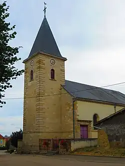 The church in Muzeray | |
Location of Muzeray | |
 Muzeray  Muzeray | |
| Coordinates: 49°20′27″N 5°37′30″E / 49.3408°N 5.625°E | |
| Country | France |
| Region | Grand Est |
| Department | Meuse |
| Arrondissement | Verdun |
| Canton | Bouligny |
| Intercommunality | CC Damvillers Spincourt |
| Government | |
| • Mayor (2020–2026) | Alexandre Marbehant[1] |
Area 1 | 8.45 km2 (3.26 sq mi) |
| Population (2022)[2] | 132 |
| • Density | 16/km2 (40/sq mi) |
| Time zone | UTC+01:00 (CET) |
| • Summer (DST) | UTC+02:00 (CEST) |
| INSEE/Postal code | 55367 /55230 |
| Elevation | 240 m (790 ft) |
| 1 French Land Register data, which excludes lakes, ponds, glaciers > 1 km2 (0.386 sq mi or 247 acres) and river estuaries. | |
Muzeray is a commune in the Meuse department in Grand Est in north-eastern France.
Geography
The river Othain forms most of the commune's eastern border.
See also
References
- ^ "Répertoire national des élus: les maires". data.gouv.fr, Plateforme ouverte des données publiques françaises (in French). 9 August 2021.
- ^ "Populations de référence 2022" (in French). The National Institute of Statistics and Economic Studies. 19 December 2024.
Wikimedia Commons has media related to Muzeray.