Saint-André-en-Barrois
Saint-André-en-Barrois | |
|---|---|
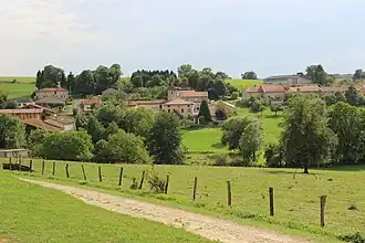 A general view Saint-André-en-Barrois | |
.svg.png) Coat of arms | |
Location of Saint-André-en-Barrois | |
 Saint-André-en-Barrois  Saint-André-en-Barrois | |
| Coordinates: 49°00′51″N 5°13′51″E / 49.0142°N 5.2308°E | |
| Country | France |
| Region | Grand Est |
| Department | Meuse |
| Arrondissement | Verdun |
| Canton | Dieue-sur-Meuse |
| Intercommunality | Val de Meuse - Voie Sacrée |
| Government | |
| • Mayor (2020–2026) | Ronald Lemoine[1] |
Area 1 | 9.33 km2 (3.60 sq mi) |
| Population (2022)[2] | 61 |
| • Density | 6.5/km2 (17/sq mi) |
| Time zone | UTC+01:00 (CET) |
| • Summer (DST) | UTC+02:00 (CEST) |
| INSEE/Postal code | 55453 /55220 |
| Elevation | 241–326 m (791–1,070 ft) (avg. 265 m or 869 ft) |
| 1 French Land Register data, which excludes lakes, ponds, glaciers > 1 km2 (0.386 sq mi or 247 acres) and river estuaries. | |
Saint-André-en-Barrois (French pronunciation: [sɛ̃.t‿ɑ̃dʁe ɑ̃ baʁwa], literally Saint-André in Barrois) is a commune situated in the Meuse department within the Grand Est region of north-eastern France.[3]
See also
References
- ^ "Répertoire national des élus: les maires". data.gouv.fr, Plateforme ouverte des données publiques françaises (in French). 9 August 2021.
- ^ "Populations de référence 2022" (in French). The National Institute of Statistics and Economic Studies. 19 December 2024.
- ^ INSEE commune file
Wikimedia Commons has media related to Saint-André-en-Barrois.