Montbras
Montbras | |
|---|---|
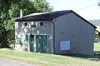 The town hall in Montbras | |
.svg.png) Coat of arms | |
Location of Montbras | |
 Montbras  Montbras | |
| Coordinates: 48°31′44″N 5°41′41″E / 48.5289°N 5.6947°E | |
| Country | France |
| Region | Grand Est |
| Department | Meuse |
| Arrondissement | Commercy |
| Canton | Vaucouleurs |
| Government | |
| • Mayor (2020–2026) | Jean Boyer[1] |
Area 1 | 5.4 km2 (2.1 sq mi) |
| Population (2022)[2] | 21 |
| • Density | 3.9/km2 (10/sq mi) |
| Time zone | UTC+01:00 (CET) |
| • Summer (DST) | UTC+02:00 (CEST) |
| INSEE/Postal code | 55344 /55140 |
| Elevation | 257–330 m (843–1,083 ft) (avg. 262 m or 860 ft) |
| 1 French Land Register data, which excludes lakes, ponds, glaciers > 1 km2 (0.386 sq mi or 247 acres) and river estuaries. | |
Montbras (French pronunciation: [mɔ̃bʁa]) is a commune in the Meuse department in Grand Est in north-eastern France.
See also
References
- ^ "Répertoire national des élus: les maires" (in French). data.gouv.fr, Plateforme ouverte des données publiques françaises. 13 September 2022.
- ^ "Populations de référence 2022" (in French). The National Institute of Statistics and Economic Studies. 19 December 2024.
Wikimedia Commons has media related to Montbras.