Plémet
Plémet
Plezeved | |
|---|---|
 Medical Center of Central Brittany | |
.svg.png) Coat of arms | |
Location of Plémet | |
 Plémet  Plémet | |
| Coordinates: 48°10′40″N 2°35′37″W / 48.1778°N 2.5936°W | |
| Country | France |
| Region | Brittany |
| Department | Côtes-d'Armor |
| Arrondissement | Saint-Brieuc |
| Canton | Loudéac |
| Intercommunality | Loudéac Communauté - Bretagne Centre |
Area 1 | 56.64 km2 (21.87 sq mi) |
| Population (2022)[1] | 3,751 |
| • Density | 66/km2 (170/sq mi) |
| Time zone | UTC+01:00 (CET) |
| • Summer (DST) | UTC+02:00 (CEST) |
| INSEE/Postal code | 22183 /22210 |
| Elevation | 70–241 m (230–791 ft) |
| 1 French Land Register data, which excludes lakes, ponds, glaciers > 1 km2 (0.386 sq mi or 247 acres) and river estuaries. | |
Plémet (French pronunciation: [plemɛ]; Breton: Plezeved; Gallo: Plémaèu) is a commune in the Côtes-d'Armor department of Brittany in northwestern France. On 1 January 2016, it was merged with La Ferrière into the new commune Les Moulins,[2] which was renamed Plémet in December 2017.[3]
Population
| Year | Pop. | ±% p.a. |
|---|---|---|
| 1968 | 3,461 | — |
| 1975 | 3,537 | +0.31% |
| 1982 | 3,554 | +0.07% |
| 1990 | 3,541 | −0.05% |
| 1999 | 3,384 | −0.50% |
| 2007 | 3,377 | −0.03% |
| 2012 | 3,590 | +1.23% |
| 2017 | 3,649 | +0.33% |
| Source: INSEE[4] | ||
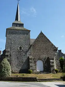
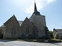
Gallery


_02.JPG)

See also
References
- ^ "Populations de référence 2022" (in French). The National Institute of Statistics and Economic Studies. 19 December 2024.
- ^ Arrêté préfectoral 9 December 2015 (in French)
- ^ Décret n° 2017-1744 22 December 2017 (in French)
- ^ Population en historique depuis 1968, INSEE
External links
Wikimedia Commons has media related to Plémet.
- Base Mérimée: Search for heritage in the commune, Ministère français de la Culture. (in French)