Asnières, Eure
Asnières | |
|---|---|
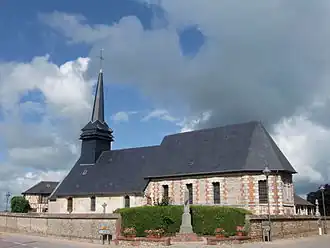 The church in Asnières | |
Location of Asnières | |
 Asnières  Asnières | |
| Coordinates: 49°11′47″N 0°23′57″E / 49.1964°N 0.3992°E | |
| Country | France |
| Region | Normandy |
| Department | Eure |
| Arrondissement | Bernay |
| Canton | Beuzeville |
| Intercommunality | CC Lieuvin Pays Auge |
| Government | |
| • Mayor (2020–2026) | Emmanuelle Viquesnel[1] |
Area 1 | 8.14 km2 (3.14 sq mi) |
| Population (2022)[2] | 338 |
| • Density | 42/km2 (110/sq mi) |
| Time zone | UTC+01:00 (CET) |
| • Summer (DST) | UTC+02:00 (CEST) |
| INSEE/Postal code | 27021 /27260 |
| Elevation | 76–162 m (249–531 ft) (avg. 152 m or 499 ft) |
| 1 French Land Register data, which excludes lakes, ponds, glaciers > 1 km2 (0.386 sq mi or 247 acres) and river estuaries. | |
Asnières (French pronunciation: [ɑnjɛʁ]) is a commune in the Eure department in Normandy in northern France.
Population
| Year | Pop. | ±% |
|---|---|---|
| 1962 | 241 | — |
| 1968 | 308 | +27.8% |
| 1975 | 218 | −29.2% |
| 1982 | 217 | −0.5% |
| 1990 | 201 | −7.4% |
| 1999 | 216 | +7.5% |
| 2008 | 267 | +23.6% |
| 2015 | 310 | +16.1% |
See also
References
- ^ "Répertoire national des élus: les maires". data.gouv.fr, Plateforme ouverte des données publiques françaises (in French). 2 December 2020.
- ^ "Populations de référence 2022" (in French). The National Institute of Statistics and Economic Studies. 19 December 2024.
Wikimedia Commons has media related to Asnières (Eure).