Pont-Authou
Pont-Authou | |
|---|---|
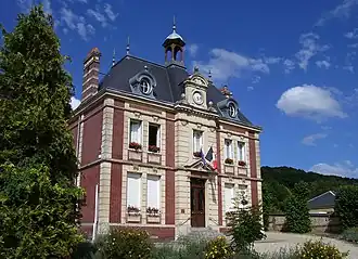 Town hall | |
Location of Pont-Authou | |
 Pont-Authou  Pont-Authou | |
| Coordinates: 49°14′39″N 0°42′06″E / 49.2442°N 0.7017°E | |
| Country | France |
| Region | Normandy |
| Department | Eure |
| Arrondissement | Bernay |
| Canton | Pont-Audemer |
| Government | |
| • Mayor (2020–2026) | Karine Vallée[1] |
Area 1 | 3.52 km2 (1.36 sq mi) |
| Population (2022)[2] | 580 |
| • Density | 160/km2 (430/sq mi) |
| Time zone | UTC+01:00 (CET) |
| • Summer (DST) | UTC+02:00 (CEST) |
| INSEE/Postal code | 27468 /27290 |
| Elevation | 37–136 m (121–446 ft) (avg. 117 m or 384 ft) |
| 1 French Land Register data, which excludes lakes, ponds, glaciers > 1 km2 (0.386 sq mi or 247 acres) and river estuaries. | |
Pont-Authou (French pronunciation: [pɔ̃.t‿otu]) is a commune in the Eure department in Normandy in northern France.
Geography
The commune along with another 69 communes shares part of a 4,747 hectare, Natura 2000 conservation area, called Risle, Guiel, Charentonne.[3]
Population
| Year | Pop. | ±% |
|---|---|---|
| 1962 | 532 | — |
| 1968 | 538 | +1.1% |
| 1975 | 534 | −0.7% |
| 1982 | 639 | +19.7% |
| 1990 | 613 | −4.1% |
| 1999 | 675 | +10.1% |
| 2008 | 712 | +5.5% |
| 2014 | 667 | −6.3% |
| 2020 | 589 | −11.7% |
See also
References
- ^ "Répertoire national des élus: les maires". data.gouv.fr, Plateforme ouverte des données publiques françaises (in French). 2 December 2020.
- ^ "Populations de référence 2022" (in French). The National Institute of Statistics and Economic Studies. 19 December 2024.
- ^ "INPN - FSD Natura 2000 - FR2300150 - Risle, Guiel, Charentonne - Description".
Wikimedia Commons has media related to Pont-Authou.