Le Perrey
Le Perrey | |
|---|---|
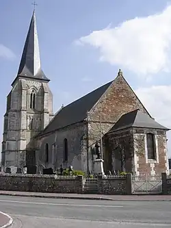 The church in Fourmetot | |
Location of Le Perrey | |
 Le Perrey  Le Perrey | |
| Coordinates: 49°22′56″N 0°34′22″E / 49.3822°N 0.5728°E | |
| Country | France |
| Region | Normandy |
| Department | Eure |
| Arrondissement | Bernay |
| Canton | Pont-Audemer |
| Intercommunality | Pont-Audemer / Val de Risle |
| Government | |
| • Mayor (2020–2026) | Philippe Marie[1] |
Area 1 | 21.40 km2 (8.26 sq mi) |
| Population (2022)[2] | 1,221 |
| • Density | 57/km2 (150/sq mi) |
| Time zone | UTC+01:00 (CET) |
| • Summer (DST) | UTC+02:00 (CEST) |
| INSEE/Postal code | 27263 /27500 |
| Elevation | 2–134 m (6.6–439.6 ft) |
| 1 French Land Register data, which excludes lakes, ponds, glaciers > 1 km2 (0.386 sq mi or 247 acres) and river estuaries. | |
Le Perrey (French pronunciation: [lə pɛʁɛ]) is a commune in the Eure department in the Normandy region in northern France. It was established on 1 January 2019 by merger of the former communes of Fourmetot (the seat), Saint-Ouen-des-Champs and Saint-Thurien.[3]
See also
References
- ^ "Répertoire national des élus: les maires" (in French). data.gouv.fr, Plateforme ouverte des données publiques françaises. 13 September 2022.
- ^ "Populations de référence 2022" (in French). The National Institute of Statistics and Economic Studies. 19 December 2024.
- ^ Arrêté préfectoral 21 December 2018 (in French)
Wikimedia Commons has media related to Le Perrey.