Bellengreville, Calvados
Bellengreville | |
|---|---|
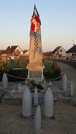 War memorial | |
Location of Bellengreville | |
 Bellengreville  Bellengreville | |
| Coordinates: 49°07′32″N 0°12′36″W / 49.1256°N 0.21°W | |
| Country | France |
| Region | Normandy |
| Department | Calvados |
| Arrondissement | Caen |
| Canton | Troarn |
| Intercommunality | CC Val ès Dunes |
| Government | |
| • Mayor (2020–2026) | Dominique Piat[1] |
Area 1 | 10.15 km2 (3.92 sq mi) |
| Population (2022)[2] | 1,474 |
| • Density | 150/km2 (380/sq mi) |
| Time zone | UTC+01:00 (CET) |
| • Summer (DST) | UTC+02:00 (CEST) |
| INSEE/Postal code | 14057 /14370 |
| Elevation | 6–73 m (20–240 ft) (avg. 70 m or 230 ft) |
| 1 French Land Register data, which excludes lakes, ponds, glaciers > 1 km2 (0.386 sq mi or 247 acres) and river estuaries. | |
Bellengreville (French pronunciation: [bɛlɑ̃ɡʁəvil] ⓘ) is a commune in the Calvados department in the Normandy region in northwestern France.
Population
| Year | Pop. | ±% |
|---|---|---|
| 1962 | 482 | — |
| 1968 | 511 | +6.0% |
| 1975 | 498 | −2.5% |
| 1982 | 780 | +56.6% |
| 1990 | 1,391 | +78.3% |
| 1999 | 1,412 | +1.5% |
| 2008 | 1,529 | +8.3% |
See also
References
- ^ "Répertoire national des élus: les maires". data.gouv.fr, Plateforme ouverte des données publiques françaises (in French). 2 December 2020.
- ^ "Populations de référence 2022" (in French). The National Institute of Statistics and Economic Studies. 19 December 2024.
Wikimedia Commons has media related to Bellengreville (Calvados).