Genneville
Genneville | |
|---|---|
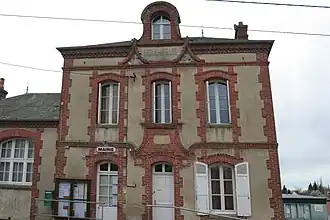 The town hall in Genneville | |
Location of Genneville | |
 Genneville  Genneville | |
| Coordinates: 49°22′14″N 0°16′32″E / 49.3706°N 0.2756°E | |
| Country | France |
| Region | Normandy |
| Department | Calvados |
| Arrondissement | Lisieux |
| Canton | Honfleur-Deauville |
| Government | |
| • Mayor (2020–2026) | Moïse Andrieu[1] |
Area 1 | 9.36 km2 (3.61 sq mi) |
| Population (2022)[2] | 819 |
| • Density | 88/km2 (230/sq mi) |
| Time zone | UTC+01:00 (CET) |
| • Summer (DST) | UTC+02:00 (CEST) |
| INSEE/Postal code | 14299 /14600 |
| Elevation | 30–139 m (98–456 ft) (avg. 87 m or 285 ft) |
| 1 French Land Register data, which excludes lakes, ponds, glaciers > 1 km2 (0.386 sq mi or 247 acres) and river estuaries. | |
Genneville (French pronunciation: [ʒɛnvil] ⓘ) is a commune in the Calvados department in the Normandy region in northwestern France.
Population
| Year | Pop. | ±% |
|---|---|---|
| 1962 | 389 | — |
| 1968 | 334 | −14.1% |
| 1975 | 329 | −1.5% |
| 1982 | 468 | +42.2% |
| 1990 | 472 | +0.9% |
| 1999 | 597 | +26.5% |
| 2008 | 735 | +23.1% |
See also
References
- ^ "Répertoire national des élus: les maires". data.gouv.fr, Plateforme ouverte des données publiques françaises (in French). 2 December 2020.
- ^ "Populations de référence 2022" (in French). The National Institute of Statistics and Economic Studies. 19 December 2024.
Wikimedia Commons has media related to Genneville.