Camurac
Camurac | |
|---|---|
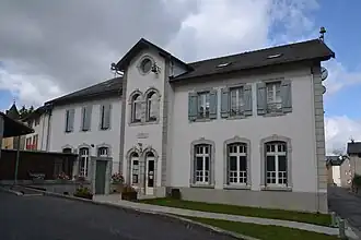 The town hall in Camurac | |
.svg.png) Coat of arms | |
Location of Camurac | |
 Camurac  Camurac | |
| Coordinates: 42°47′57″N 1°54′57″E / 42.7992°N 1.9158°E | |
| Country | France |
| Region | Occitania |
| Department | Aude |
| Arrondissement | Limoux |
| Canton | La Haute-Vallée de l'Aude |
| Government | |
| • Mayor (2020–2026) | Bernard Vaquie[1] |
Area 1 | 11.61 km2 (4.48 sq mi) |
| Population (2022)[2] | 108 |
| • Density | 9.3/km2 (24/sq mi) |
| Time zone | UTC+01:00 (CET) |
| • Summer (DST) | UTC+02:00 (CEST) |
| INSEE/Postal code | 11066 /11340 |
| Elevation | 1,134–1,764 m (3,720–5,787 ft) (avg. 1,200 m or 3,900 ft) |
| 1 French Land Register data, which excludes lakes, ponds, glaciers > 1 km2 (0.386 sq mi or 247 acres) and river estuaries. | |
Camurac (French pronunciation: [kamyʁak] ⓘ) is a commune of the Aude department southern France.
It is located in the Pyrenees about 25 km from the border of Andorra.
Population
| Year | Pop. | ±% |
|---|---|---|
| 1962 | 179 | — |
| 1968 | 160 | −10.6% |
| 1975 | 176 | +10.0% |
| 1982 | 134 | −23.9% |
| 1990 | 149 | +11.2% |
| 1999 | 132 | −11.4% |
| 2008 | 123 | −6.8% |
See also
References
- ^ "Répertoire national des élus: les maires". data.gouv.fr, Plateforme ouverte des données publiques françaises (in French). 2 December 2020.
- ^ "Populations de référence 2022" (in French). The National Institute of Statistics and Economic Studies. 19 December 2024.
Wikimedia Commons has media related to Camurac.