Nibas
Nibas | |
|---|---|
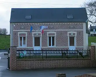 The town hall in Nibas | |
.svg.png) Coat of arms | |
Location of Nibas | |
 Nibas  Nibas | |
| Coordinates: 50°06′06″N 1°35′21″E / 50.1017°N 1.5892°E / 50.1017; 1.5892 | |
| Country | France |
| Region | Hauts-de-France |
| Department | Somme |
| Arrondissement | Abbeville |
| Canton | Friville-Escarbotin |
| Intercommunality | CC Vimeu |
| Government | |
| • Mayor (2020–2026) | René Roussel[1] |
Area 1 | 12.65 km2 (4.88 sq mi) |
| Population (2022)[2] | 828 |
| • Density | 65/km2 (170/sq mi) |
| Time zone | UTC+01:00 (CET) |
| • Summer (DST) | UTC+02:00 (CEST) |
| INSEE/Postal code | 80597 /80390 |
| Elevation | 27–97 m (89–318 ft) (avg. 43 m or 141 ft) |
| 1 French Land Register data, which excludes lakes, ponds, glaciers > 1 km2 (0.386 sq mi or 247 acres) and river estuaries. | |
Nibas is a commune in the Somme department in Hauts-de-France in northern France.
Geography
Nibas is situated on the D2a road, some 10 miles (16 km) west of Abbeville.
Population
| Year | Pop. | ±% p.a. |
|---|---|---|
| 1968 | 712 | — |
| 1975 | 652 | −1.25% |
| 1982 | 719 | +1.41% |
| 1990 | 809 | +1.49% |
| 1999 | 749 | −0.85% |
| 2007 | 832 | +1.32% |
| 2012 | 836 | +0.10% |
| 2017 | 853 | +0.40% |
| 2019 | 852 | −0.06% |
| Source: INSEE[3] | ||
See also
References
- ^ "Répertoire national des élus: les maires". data.gouv.fr, Plateforme ouverte des données publiques françaises (in French). 2 December 2020.
- ^ "Populations de référence 2022" (in French). The National Institute of Statistics and Economic Studies. 19 December 2024.
- ^ Population en historique depuis 1968, INSEE
Wikimedia Commons has media related to Nibas.
This article is issued from Wikipedia. The text is available under Creative Commons Attribution-Share Alike 4.0 unless otherwise noted. Additional terms may apply for the media files.