Champrond-en-Gâtine
Champrond-en-Gâtine | |
|---|---|
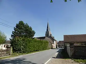 The church and surroundings in Champrond-en-Gâtine | |
.svg.png) Coat of arms | |
Location of Champrond-en-Gâtine | |
 Champrond-en-Gâtine  Champrond-en-Gâtine | |
| Coordinates: 48°24′11″N 1°04′35″E / 48.4031°N 1.0764°E | |
| Country | France |
| Region | Centre-Val de Loire |
| Department | Eure-et-Loir |
| Arrondissement | Nogent-le-Rotrou |
| Canton | Nogent-le-Rotrou |
| Government | |
| • Mayor (2020–2026) | Eric Legros[1] |
Area 1 | 33.68 km2 (13.00 sq mi) |
| Population (2022)[2] | 733 |
| • Density | 22/km2 (56/sq mi) |
| Time zone | UTC+01:00 (CET) |
| • Summer (DST) | UTC+02:00 (CEST) |
| INSEE/Postal code | 28071 /28240 |
| Elevation | 207–277 m (679–909 ft) (avg. 250 m or 820 ft) |
| 1 French Land Register data, which excludes lakes, ponds, glaciers > 1 km2 (0.386 sq mi or 247 acres) and river estuaries. | |
Champrond-en-Gâtine (French pronunciation: [ʃɑ̃pʁɔ̃ ɑ̃ ɡatin]) is a commune in the Eure-et-Loir department in northern France.
Geography
The Commune along with another 70 communes shares part of a 47,681 hectare, Natura 2000 conservation area, called the Forêts et étangs du Perche.[3]
Population
| Year | Pop. | ±% |
|---|---|---|
| 1962 | 484 | — |
| 1968 | 507 | +4.8% |
| 1975 | 446 | −12.0% |
| 1982 | 430 | −3.6% |
| 1990 | 356 | −17.2% |
| 1999 | 416 | +16.9% |
| 2008 | 488 | +17.3% |
See also
References
- ^ "Répertoire national des élus: les maires" (in French). data.gouv.fr, Plateforme ouverte des données publiques françaises. 4 May 2022.
- ^ "Populations de référence 2022" (in French). The National Institute of Statistics and Economic Studies. 19 December 2024.
- ^ "INPN - FSD Natura 2000 - FR2512004 - Forêts et étangs du Perche - Description".
Wikimedia Commons has media related to Champrond-en-Gâtine.