Réclainville
Réclainville | |
|---|---|
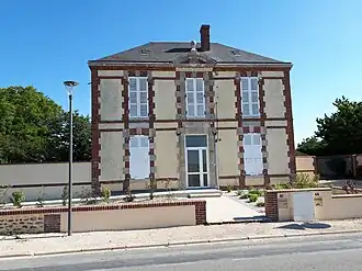 The town hall in Réclainville | |
.svg.png) Coat of arms | |
Location of Réclainville | |
 Réclainville  Réclainville | |
| Coordinates: 48°20′24″N 1°44′52″E / 48.34°N 1.7478°E | |
| Country | France |
| Region | Centre-Val de Loire |
| Department | Eure-et-Loir |
| Arrondissement | Chartres |
| Canton | Les Villages Vovéens |
| Government | |
| • Mayor (2020–2026) | Laëtitia Varet[1] |
Area 1 | 9.8 km2 (3.8 sq mi) |
| Population (2022)[2] | 203 |
| • Density | 21/km2 (54/sq mi) |
| Time zone | UTC+01:00 (CET) |
| • Summer (DST) | UTC+02:00 (CEST) |
| INSEE/Postal code | 28313 /28150 |
| Elevation | 144–154 m (472–505 ft) (avg. 152 m or 499 ft) |
| 1 French Land Register data, which excludes lakes, ponds, glaciers > 1 km2 (0.386 sq mi or 247 acres) and river estuaries. | |
Réclainville (French pronunciation: [ʁeklɛ̃vil]) is a commune in the Eure-et-Loir department in northern France.
Population
| Year | Pop. | ±% |
|---|---|---|
| 1962 | 104 | — |
| 1968 | 132 | +26.9% |
| 1975 | 115 | −12.9% |
| 1982 | 104 | −9.6% |
| 1990 | 140 | +34.6% |
| 1999 | 143 | +2.1% |
| 2008 | 153 | +7.0% |
See also
References
- ^ "Répertoire national des élus: les maires" (in French). data.gouv.fr, Plateforme ouverte des données publiques françaises. 4 May 2022.
- ^ "Populations de référence 2022" (in French). The National Institute of Statistics and Economic Studies. 19 December 2024.
Wikimedia Commons has media related to Réclainville.