Charpont
Charpont | |
|---|---|
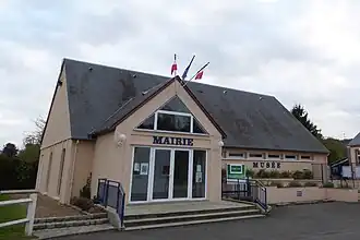 The town hall in Charpont | |
.svg.png) Coat of arms | |
Location of Charpont | |
 Charpont  Charpont | |
| Coordinates: 48°42′04″N 1°26′25″E / 48.7011°N 1.4403°E | |
| Country | France |
| Region | Centre-Val de Loire |
| Department | Eure-et-Loir |
| Arrondissement | Dreux |
| Canton | Dreux-2 |
| Intercommunality | CA Pays de Dreux |
| Government | |
| • Mayor (2020–2026) | Dominique De Vos[1] |
Area 1 | 7.12 km2 (2.75 sq mi) |
| Population (2022)[2] | 638 |
| • Density | 90/km2 (230/sq mi) |
| Time zone | UTC+01:00 (CET) |
| • Summer (DST) | UTC+02:00 (CEST) |
| INSEE/Postal code | 28082 /28500 |
| Elevation | 81–135 m (266–443 ft) (avg. 90 m or 300 ft) |
| 1 French Land Register data, which excludes lakes, ponds, glaciers > 1 km2 (0.386 sq mi or 247 acres) and river estuaries. | |
Charpont (French pronunciation: [ʃaʁpɔ̃]) is a commune in the Eure-et-Loir department in northern France.
Population
| Year | Pop. | ±% |
|---|---|---|
| 1962 | 206 | — |
| 1968 | 221 | +7.3% |
| 1975 | 250 | +13.1% |
| 1982 | 323 | +29.2% |
| 1990 | 454 | +40.6% |
| 1999 | 491 | +8.1% |
| 2008 | 549 | +11.8% |
See also
References
- ^ "Répertoire national des élus: les maires". data.gouv.fr, Plateforme ouverte des données publiques françaises (in French). 9 August 2021.
- ^ "Populations de référence 2022" (in French). The National Institute of Statistics and Economic Studies. 19 December 2024.
Wikimedia Commons has media related to Charpont.