Havelu
Havelu | |
|---|---|
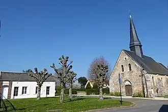 The town hall and church in Havelu | |
Location of Havelu | |
 Havelu  Havelu | |
| Coordinates: 48°47′18″N 1°32′05″E / 48.7883°N 1.5347°E | |
| Country | France |
| Region | Centre-Val de Loire |
| Department | Eure-et-Loir |
| Arrondissement | Dreux |
| Canton | Anet |
| Intercommunality | Pays houdanais |
| Government | |
| • Mayor (2020–2026) | Guy Duval[1] |
Area 1 | 3.7 km2 (1.4 sq mi) |
| Population (2022)[2] | 131 |
| • Density | 35/km2 (92/sq mi) |
| Time zone | UTC+01:00 (CET) |
| • Summer (DST) | UTC+02:00 (CEST) |
| INSEE/Postal code | 28193 /28410 |
| Elevation | 124–137 m (407–449 ft) (avg. 136 m or 446 ft) |
| 1 French Land Register data, which excludes lakes, ponds, glaciers > 1 km2 (0.386 sq mi or 247 acres) and river estuaries. | |
Havelu (French pronunciation: [avly]) is a commune in the Eure-et-Loir department in northern France.
Population
| Year | Pop. | ±% |
|---|---|---|
| 1962 | 96 | — |
| 1968 | 109 | +13.5% |
| 1975 | 109 | +0.0% |
| 1982 | 85 | −22.0% |
| 1990 | 94 | +10.6% |
| 1999 | 102 | +8.5% |
| 2008 | 114 | +11.8% |
See also
References
- ^ "Répertoire national des élus: les maires". data.gouv.fr, Plateforme ouverte des données publiques françaises (in French). 2 December 2020.
- ^ "Populations de référence 2022" (in French). The National Institute of Statistics and Economic Studies. 19 December 2024.
Wikimedia Commons has media related to Havelu.