Domarin
Domarin | |
|---|---|
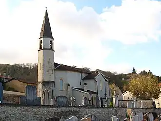 The church of Domarin | |
Location of Domarin | |
 Domarin  Domarin | |
| Coordinates: 45°35′11″N 5°14′42″E / 45.5864°N 5.245°E | |
| Country | France |
| Region | Auvergne-Rhône-Alpes |
| Department | Isère |
| Arrondissement | La Tour-du-Pin |
| Canton | Bourgoin-Jallieu |
| Intercommunality | CA Porte de l'Isère |
| Government | |
| • Mayor (2020–2026) | Alain Mary[1] |
Area 1 | 2.99 km2 (1.15 sq mi) |
| Population (2022)[2] | 1,670 |
| • Density | 560/km2 (1,400/sq mi) |
| Time zone | UTC+01:00 (CET) |
| • Summer (DST) | UTC+02:00 (CEST) |
| INSEE/Postal code | 38149 /38300 |
| Elevation | 231–450 m (758–1,476 ft) |
| 1 French Land Register data, which excludes lakes, ponds, glaciers > 1 km2 (0.386 sq mi or 247 acres) and river estuaries. | |
Domarin (French pronunciation: [dɔmaʁɛ̃]) is a commune in the Isère department in southeastern France.
Population
| Year | Pop. | ±% p.a. |
|---|---|---|
| 1968 | 610 | — |
| 1975 | 846 | +4.78% |
| 1982 | 1,253 | +5.77% |
| 1990 | 1,382 | +1.23% |
| 1999 | 1,428 | +0.36% |
| 2007 | 1,412 | −0.14% |
| 2012 | 1,431 | +0.27% |
| 2017 | 1,661 | +3.03% |
| Source: INSEE[3] | ||
See also
References
- ^ "Répertoire national des élus: les maires". data.gouv.fr, Plateforme ouverte des données publiques françaises (in French). 2 December 2020.
- ^ "Populations de référence 2022" (in French). The National Institute of Statistics and Economic Studies. 19 December 2024.
- ^ Population en historique depuis 1968, INSEE
Wikimedia Commons has media related to Domarin.