Lentiol
Lentiol | |
|---|---|
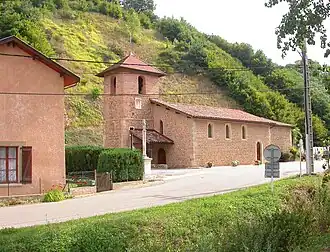 The church of Lentiol | |
Location of Lentiol | |
 Lentiol  Lentiol | |
| Coordinates: 45°18′00″N 5°06′51″E / 45.3°N 5.1142°E | |
| Country | France |
| Region | Auvergne-Rhône-Alpes |
| Department | Isère |
| Arrondissement | Vienne |
| Canton | Bièvre |
| Government | |
| • Mayor (2020–2026) | Henri Cottinet[1] |
Area 1 | 7.6 km2 (2.9 sq mi) |
| Population (2022)[2] | 247 |
| • Density | 33/km2 (84/sq mi) |
| Time zone | UTC+01:00 (CET) |
| • Summer (DST) | UTC+02:00 (CEST) |
| INSEE/Postal code | 38209 /38270 |
| Elevation | 337–479 m (1,106–1,572 ft) |
| 1 French Land Register data, which excludes lakes, ponds, glaciers > 1 km2 (0.386 sq mi or 247 acres) and river estuaries. | |
Lentiol (French pronunciation: [lɑ̃tjɔl]) is a commune in the Isère department in southeastern France.
Population
| Year | Pop. | ±% p.a. |
|---|---|---|
| 1968 | 114 | — |
| 1975 | 101 | −1.71% |
| 1982 | 151 | +5.91% |
| 1990 | 131 | −1.76% |
| 1999 | 147 | +1.29% |
| 2009 | 211 | +3.68% |
| 2014 | 221 | +0.93% |
| 2020 | 239 | +1.31% |
| Source: INSEE[3] | ||
See also
References
- ^ "Répertoire national des élus: les maires". data.gouv.fr, Plateforme ouverte des données publiques françaises (in French). 2 December 2020.
- ^ "Populations de référence 2022" (in French). The National Institute of Statistics and Economic Studies. 19 December 2024.
- ^ Population en historique depuis 1968, INSEE
Wikimedia Commons has media related to Lentiol.