Ferrières-Poussarou
Ferrières-Poussarou | |
|---|---|
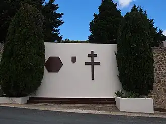 Monument to the Maquis la Tourette at Ferrières-Poussarou | |
Location of Ferrières-Poussarou | |
 Ferrières-Poussarou  Ferrières-Poussarou | |
| Coordinates: 43°29′09″N 2°53′33″E / 43.4858°N 2.8925°E | |
| Country | France |
| Region | Occitania |
| Department | Hérault |
| Arrondissement | Béziers |
| Canton | Saint-Pons-de-Thomières |
| Government | |
| • Mayor (2020–2026) | Pascale Peytavi[1] |
Area 1 | 26.01 km2 (10.04 sq mi) |
| Population (2022)[2] | 67 |
| • Density | 2.6/km2 (6.7/sq mi) |
| Time zone | UTC+01:00 (CET) |
| • Summer (DST) | UTC+02:00 (CEST) |
| INSEE/Postal code | 34100 /34360 |
| Elevation | 203–728 m (666–2,388 ft) (avg. 529 m or 1,736 ft) |
| 1 French Land Register data, which excludes lakes, ponds, glaciers > 1 km2 (0.386 sq mi or 247 acres) and river estuaries. | |
Ferrières-Poussarou (French pronunciation: [fɛʁjɛʁ pusaʁu]) is a commune in the Hérault department in southern France.

Population
| Year | Pop. | ±% |
|---|---|---|
| 1962 | 32 | — |
| 1968 | 40 | +25.0% |
| 1975 | 38 | −5.0% |
| 1982 | 35 | −7.9% |
| 1990 | 40 | +14.3% |
| 1999 | 49 | +22.5% |
| 2008 | 59 | +20.4% |
See also
References
- ^ "Répertoire national des élus: les maires" (in French). data.gouv.fr, Plateforme ouverte des données publiques françaises. 13 September 2022.
- ^ "Populations de référence 2022" (in French). The National Institute of Statistics and Economic Studies. 19 December 2024.
Wikimedia Commons has media related to Ferrières-Poussarou.