Les Monts d'Aunay
Les Monts d'Aunay | |
|---|---|
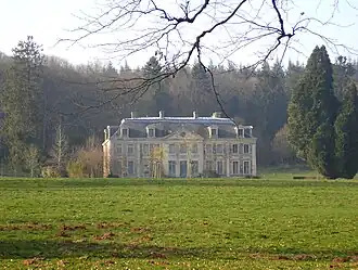 The chateau of La Ferrière | |
Location of Les Monts d'Aunay | |
 Les Monts d'Aunay  Les Monts d'Aunay | |
| Coordinates: 49°01′12″N 0°37′55″W / 49.020°N 0.632°W | |
| Country | France |
| Region | Normandy |
| Department | Calvados |
| Arrondissement | Vire |
| Canton | Les Monts d'Aunay |
| Intercommunality | CC Pré-Bocage Intercom |
| Government | |
| • Mayor (2020–2026) | Christine Salmon[1] |
Area 1 | 69.43 km2 (26.81 sq mi) |
| Population (2022)[2] | 4,664 |
| • Density | 67/km2 (170/sq mi) |
| Time zone | UTC+01:00 (CET) |
| • Summer (DST) | UTC+02:00 (CEST) |
| INSEE/Postal code | 14027 /14260, 14770 |
| 1 French Land Register data, which excludes lakes, ponds, glaciers > 1 km2 (0.386 sq mi or 247 acres) and river estuaries. | |
Les Monts d'Aunay (French pronunciation: [le mɔ̃ donɛ]) is a commune in the department of Calvados, northwestern France. The municipality was established on 1 January 2017 by merger of the former communes of Aunay-sur-Odon (the seat), Bauquay, Campandré-Valcongrain, Danvou-la-Ferrière, Ondefontaine, Le Plessis-Grimoult and Roucamps.[3]
Geography
The Commune along with another nine communes shares part of a 5,729 hectare, Natura 2000 conservation area, called the Bassin de la Druance.[4]
The commune is the source of the River Druance.[5]
Population
| Year | Pop. | ±% p.a. |
|---|---|---|
| 1968 | 4,406 | — |
| 1975 | 4,090 | −1.06% |
| 1982 | 4,157 | +0.23% |
| 1990 | 3,983 | −0.53% |
| 1999 | 4,069 | +0.24% |
| 2007 | 4,267 | +0.60% |
| 2012 | 4,700 | +1.95% |
| 2017 | 4,669 | −0.13% |
| Source: INSEE[6] | ||
See also
References
Wikimedia Commons has media related to Les Monts d'Aunay.
- ^ "Répertoire national des élus: les maires" (in French). data.gouv.fr, Plateforme ouverte des données publiques françaises. 13 September 2022.
- ^ "Populations de référence 2022" (in French). The National Institute of Statistics and Economic Studies. 19 December 2024.
- ^ Arrêté préfectoral 26 September 2016 (in French)
- ^ "INPN - FSD Natura 2000 - FR2500118 - Bassin de la Druance - Description".
- ^ Sandre. "Fiche cours d'eau - Druance (I24-0420)".
- ^ Population en historique depuis 1968, INSEE