Mercuer
Mercuer | |
|---|---|
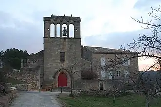 The church in Mercuer | |
Location of Mercuer | |
 Mercuer  Mercuer | |
| Coordinates: 44°37′55″N 4°21′31″E / 44.6319°N 4.3586°E | |
| Country | France |
| Region | Auvergne-Rhône-Alpes |
| Department | Ardèche |
| Arrondissement | Largentière |
| Canton | Aubenas-2 |
| Government | |
| • Mayor (2020–2026) | Didier Beral[1] |
Area 1 | 7.57 km2 (2.92 sq mi) |
| Population (2022)[2] | 1,315 |
| • Density | 170/km2 (450/sq mi) |
| Time zone | UTC+01:00 (CET) |
| • Summer (DST) | UTC+02:00 (CEST) |
| INSEE/Postal code | 07155 /07200 |
| Elevation | 257–535 m (843–1,755 ft) (avg. 380 m or 1,250 ft) |
| 1 French Land Register data, which excludes lakes, ponds, glaciers > 1 km2 (0.386 sq mi or 247 acres) and river estuaries. | |
Mercuer (French pronunciation: [mɛʁkɥe]; Occitan: Mercuri) is a commune in the Ardèche department in southern France.
Population
| Year | Pop. | ±% |
|---|---|---|
| 1962 | 383 | — |
| 1968 | 432 | +12.8% |
| 1975 | 564 | +30.6% |
| 1982 | 695 | +23.2% |
| 1990 | 938 | +35.0% |
| 1999 | 1,010 | +7.7% |
| 2008 | 1,186 | +17.4% |
See also
References
- ^ "Répertoire national des élus: les maires" (in French). data.gouv.fr, Plateforme ouverte des données publiques françaises. 13 September 2022.
- ^ "Populations de référence 2022" (in French). The National Institute of Statistics and Economic Studies. 19 December 2024.
Wikimedia Commons has media related to Mercuer.