Uzer, Ardèche
Uzer | |
|---|---|
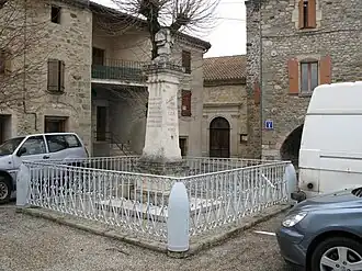 The war memorial in Uzer | |
Location of Uzer | |
 Uzer  Uzer | |
| Coordinates: 44°31′12″N 4°19′38″E / 44.52°N 4.3272°E | |
| Country | France |
| Region | Auvergne-Rhône-Alpes |
| Department | Ardèche |
| Arrondissement | Largentière |
| Canton | Vallon-Pont-d'Arc |
| Intercommunality | Val de Ligne |
| Government | |
| • Mayor (2020–2026) | Yves Aubert[1] |
Area 1 | 3.51 km2 (1.36 sq mi) |
| Population (2022)[2] | 418 |
| • Density | 120/km2 (310/sq mi) |
| Time zone | UTC+01:00 (CET) |
| • Summer (DST) | UTC+02:00 (CEST) |
| INSEE/Postal code | 07327 /07110 |
| Elevation | 130–335 m (427–1,099 ft) (avg. 146 m or 479 ft) |
| 1 French Land Register data, which excludes lakes, ponds, glaciers > 1 km2 (0.386 sq mi or 247 acres) and river estuaries. | |
Uzer (French pronunciation: [yzɛʁ]; Occitan: Usèr) is a commune in the Ardèche department in southern France.
Population
| Year | Pop. | ±% |
|---|---|---|
| 1962 | 259 | — |
| 1968 | 274 | +5.8% |
| 1975 | 305 | +11.3% |
| 1982 | 337 | +10.5% |
| 1990 | 368 | +9.2% |
| 1999 | 336 | −8.7% |
| 2008 | 419 | +24.7% |
See also
References
- ^ "Répertoire national des élus: les maires". data.gouv.fr, Plateforme ouverte des données publiques françaises (in French). 9 August 2021.
- ^ "Populations de référence 2022" (in French). The National Institute of Statistics and Economic Studies. 19 December 2024.
Wikimedia Commons has media related to Uzer, Ardèche.