Oxelaëre
Oxelaëre
Okselare | |
|---|---|
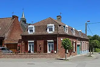 Houses in the centre of the village | |
.svg.png) Coat of arms | |
Location of Oxelaëre | |
 Oxelaëre  Oxelaëre | |
| Coordinates: 50°47′22″N 2°28′24″E / 50.7894°N 2.4733°E | |
| Country | France |
| Region | Hauts-de-France |
| Department | Nord |
| Arrondissement | Dunkerque |
| Canton | Bailleul |
| Intercommunality | CA Cœur de Flandre |
| Government | |
| • Mayor (2020–2026) | Stéphane Dieusaert[1] |
Area 1 | 4.72 km2 (1.82 sq mi) |
| Population (2022)[2] | 533 |
| • Density | 110/km2 (290/sq mi) |
| Demonym | Oxelaërois (es) |
| Time zone | UTC+01:00 (CET) |
| • Summer (DST) | UTC+02:00 (CEST) |
| INSEE/Postal code | 59454 /59670 |
| Elevation | 29–103 m (95–338 ft) (avg. 36 m or 118 ft) |
| 1 French Land Register data, which excludes lakes, ponds, glaciers > 1 km2 (0.386 sq mi or 247 acres) and river estuaries. | |
Oxelaëre (French pronunciation: [ɔksəlaʁ]; from Flemish; Okselare in modern Dutch spelling) is a commune in the Nord department in northern France.[3]
Heraldry
|
The arms of Oxelaëre are blazoned : Chequy Or and gules. (, Quesnoy-sur-Deûle and Sars-et-Rosières use the same arms.)
|
See also
References
- ^ "Répertoire national des élus: les maires". data.gouv.fr, Plateforme ouverte des données publiques françaises (in French). 2 December 2020.
- ^ "Populations de référence 2022" (in French). The National Institute of Statistics and Economic Studies. 19 December 2024.
- ^ INSEE commune file
-
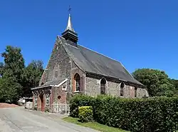 St Martin's church
 -
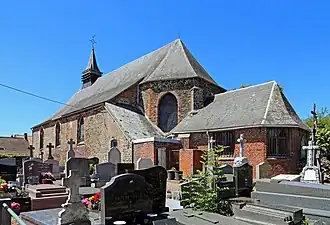 St Martin's church
 -
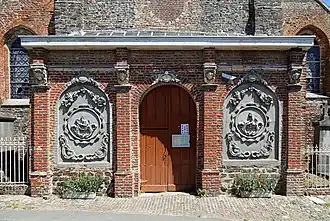 Porch of St Martin's church
 -
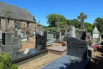 Cemetery
Wikimedia Commons has media related to Oxelaëre.