Wannehain
Wannehain | |
|---|---|
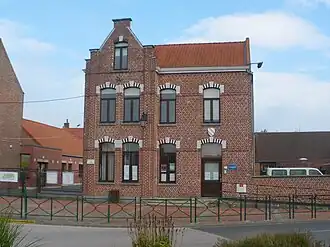 The town hall in Wannehain | |
.svg.png) Coat of arms | |
Location of Wannehain | |
 Wannehain  Wannehain | |
| Coordinates: 50°34′10″N 3°15′59″E / 50.5694°N 3.2664°E | |
| Country | France |
| Region | Hauts-de-France |
| Department | Nord |
| Arrondissement | Lille |
| Canton | Templeuve-en-Pévèle |
| Intercommunality | Pévèle Carembault |
| Government | |
| • Mayor (2020–2026) | Jean-Luc Lefebvre[1] |
Area 1 | 3.71 km2 (1.43 sq mi) |
| Population (2022)[2] | 1,332 |
| • Density | 360/km2 (930/sq mi) |
| Time zone | UTC+01:00 (CET) |
| • Summer (DST) | UTC+02:00 (CEST) |
| INSEE/Postal code | 59638 /59830 |
| Elevation | 34–61 m (112–200 ft) (avg. 43 m or 141 ft) |
| 1 French Land Register data, which excludes lakes, ponds, glaciers > 1 km2 (0.386 sq mi or 247 acres) and river estuaries. | |
Wannehain is a commune in the Nord department in northern France,[3] on the border with Belgium.
The HSL 1 railway line to Brussels crosses the border at Wannehain.
Heraldry
|
The arms of Wannehain are blazoned : Bendy argent and azure. (Fretin, Saultain and use the same arms.)
|
Population
| Year | Pop. | ±% p.a. |
|---|---|---|
| 1968 | 484 | — |
| 1975 | 570 | +2.36% |
| 1982 | 583 | +0.32% |
| 1990 | 742 | +3.06% |
| 1999 | 839 | +1.37% |
| 2007 | 905 | +0.95% |
| 2012 | 1,155 | +5.00% |
| 2017 | 1,272 | +1.95% |
| Source: INSEE[4] | ||
See also
References
- ^ "Répertoire national des élus: les maires". data.gouv.fr, Plateforme ouverte des données publiques françaises (in French). 2 December 2020.
- ^ "Populations de référence 2022" (in French). The National Institute of Statistics and Economic Studies. 19 December 2024.
- ^ INSEE commune file
- ^ Population en historique depuis 1968, INSEE
Wikimedia Commons has media related to Wannehain.