Saint-Denis-d'Augerons
Saint-Denis-d'Augerons | |
|---|---|
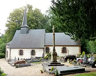 The church in Saint-Denis-d'Augerons | |
Location of Saint-Denis-d'Augerons | |
 Saint-Denis-d'Augerons  Saint-Denis-d'Augerons | |
| Coordinates: 48°55′35″N 0°28′29″E / 48.9264°N 0.4747°E | |
| Country | France |
| Region | Normandy |
| Department | Eure |
| Arrondissement | Bernay |
| Canton | Breteuil |
| Government | |
| • Mayor (2020–2026) | Colette Rodrigue[1] |
Area 1 | 4.27 km2 (1.65 sq mi) |
| Population (2022)[2] | 77 |
| • Density | 18/km2 (47/sq mi) |
| Time zone | UTC+01:00 (CET) |
| • Summer (DST) | UTC+02:00 (CEST) |
| INSEE/Postal code | 27530 /27390 |
| Elevation | 173–226 m (568–741 ft) (avg. 220 m or 720 ft) |
| 1 French Land Register data, which excludes lakes, ponds, glaciers > 1 km2 (0.386 sq mi or 247 acres) and river estuaries. | |
Saint-Denis-d'Augerons (French pronunciation: [sɛ̃ dəni doʒʁɔ̃]) is a commune in the Eure department in Normandy in northern France.
Geography
The commune along with another 69 communes shares part of a 4,747 hectare, Natura 2000 conservation area, called Risle, Guiel, Charentonne.[3]
Population
| Year | Pop. | ±% |
|---|---|---|
| 1962 | 135 | — |
| 1968 | 144 | +6.7% |
| 1975 | 117 | −18.8% |
| 1982 | 109 | −6.8% |
| 1990 | 92 | −15.6% |
| 1999 | 97 | +5.4% |
| 2008 | 84 | −13.4% |
See also
References
- ^ "Répertoire national des élus: les maires". data.gouv.fr, Plateforme ouverte des données publiques françaises (in French). 9 August 2021.
- ^ "Populations de référence 2022" (in French). The National Institute of Statistics and Economic Studies. 19 December 2024.
- ^ "INPN - FSD Natura 2000 - FR2300150 - Risle, Guiel, Charentonne - Description".
Wikimedia Commons has media related to Saint-Denis-d'Augerons.