Bouteilles-Saint-Sébastien
Bouteilles-Saint-Sébastien | |
|---|---|
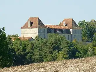 Chateau of Bouteilles | |
Location of Bouteilles-Saint-Sébastien | |
 Bouteilles-Saint-Sébastien  Bouteilles-Saint-Sébastien | |
| Coordinates: 45°20′45″N 0°18′19″E / 45.3458°N 0.3053°E | |
| Country | France |
| Region | Nouvelle-Aquitaine |
| Department | Dordogne |
| Arrondissement | Périgueux |
| Canton | Ribérac |
| Government | |
| • Mayor (2020–2026) | Christine Berthé[1] |
Area 1 | 13.96 km2 (5.39 sq mi) |
| Population (2022)[2] | 175 |
| • Density | 13/km2 (32/sq mi) |
| Time zone | UTC+01:00 (CET) |
| • Summer (DST) | UTC+02:00 (CEST) |
| INSEE/Postal code | 24062 /24320 |
| Elevation | 58–183 m (190–600 ft) (avg. 100 m or 330 ft) |
| 1 French Land Register data, which excludes lakes, ponds, glaciers > 1 km2 (0.386 sq mi or 247 acres) and river estuaries. | |
Bouteilles-Saint-Sébastien (French pronunciation: [butɛj sɛ̃ sebastjɛ̃]; Occitan: Botelha e Sent Sabàstian) is a commune in the Dordogne department in southwestern France.
Geography
The Lizonne forms the commune's southwestern border.
Population
| Year | Pop. | ±% |
|---|---|---|
| 1962 | 313 | — |
| 1968 | 294 | −6.1% |
| 1975 | 250 | −15.0% |
| 1982 | 218 | −12.8% |
| 1990 | 214 | −1.8% |
| 1999 | 191 | −10.7% |
| 2008 | 189 | −1.0% |
See also
References
- ^ "Répertoire national des élus: les maires" (in French). data.gouv.fr, Plateforme ouverte des données publiques françaises. 13 September 2022.
- ^ "Populations de référence 2022" (in French). The National Institute of Statistics and Economic Studies. 19 December 2024.
Wikimedia Commons has media related to Bouteilles-Saint-Sébastien.