Sarlande
Sarlande | |
|---|---|
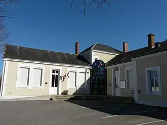 The town hall in Sarlande | |
Location of Sarlande | |
 Sarlande  Sarlande | |
| Coordinates: 45°27′07″N 1°07′06″E / 45.4519°N 1.1183°E | |
| Country | France |
| Region | Nouvelle-Aquitaine |
| Department | Dordogne |
| Arrondissement | Nontron |
| Canton | Isle-Loue-Auvézère |
| Government | |
| • Mayor (2020–2026) | Alain Meyzie[1] |
Area 1 | 34.74 km2 (13.41 sq mi) |
| Population (2022)[2] | 423 |
| • Density | 12/km2 (32/sq mi) |
| Time zone | UTC+01:00 (CET) |
| • Summer (DST) | UTC+02:00 (CEST) |
| INSEE/Postal code | 24519 /24270 |
| Elevation | 233–388 m (764–1,273 ft) (avg. 350 m or 1,150 ft) |
| 1 French Land Register data, which excludes lakes, ponds, glaciers > 1 km2 (0.386 sq mi or 247 acres) and river estuaries. | |
Sarlande (French pronunciation: [saʁlɑ̃d]; Occitan: Sarlanda) is a commune in the Dordogne department in Nouvelle-Aquitaine in southwestern France.
Population
| Year | Pop. | ±% |
|---|---|---|
| 1962 | 583 | — |
| 1968 | 697 | +19.6% |
| 1975 | 621 | −10.9% |
| 1982 | 524 | −15.6% |
| 1990 | 468 | −10.7% |
| 1999 | 420 | −10.3% |
| 2008 | 417 | −0.7% |
See also
References
- ^ "Répertoire national des élus: les maires". data.gouv.fr, Plateforme ouverte des données publiques françaises (in French). 2 December 2020.
- ^ "Populations de référence 2022" (in French). The National Institute of Statistics and Economic Studies. 19 December 2024.
Wikimedia Commons has media related to Sarlande.