Cladech
Cladech | |
|---|---|
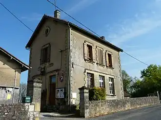 The town hall in Cladech | |
Location of Cladech | |
 Cladech  Cladech | |
| Coordinates: 44°48′59″N 1°04′21″E / 44.8164°N 1.0725°E | |
| Country | France |
| Region | Nouvelle-Aquitaine |
| Department | Dordogne |
| Arrondissement | Sarlat-la-Canéda |
| Canton | Vallée Dordogne |
| Government | |
| • Mayor (2020–2026) | Jean-Pierre Andre[1] |
Area 1 | 5.49 km2 (2.12 sq mi) |
| Population (2022)[2] | 87 |
| • Density | 16/km2 (41/sq mi) |
| Time zone | UTC+01:00 (CET) |
| • Summer (DST) | UTC+02:00 (CEST) |
| INSEE/Postal code | 24122 /24170 |
| Elevation | 94–268 m (308–879 ft) (avg. 251 m or 823 ft) |
| 1 French Land Register data, which excludes lakes, ponds, glaciers > 1 km2 (0.386 sq mi or 247 acres) and river estuaries. | |
Cladech (French pronunciation: [kladɛʃ]) is a commune in the Dordogne department in Nouvelle-Aquitaine in southwestern France.
Population
| Year | Pop. | ±% |
|---|---|---|
| 1962 | 118 | — |
| 1968 | 115 | −2.5% |
| 1975 | 91 | −20.9% |
| 1982 | 96 | +5.5% |
| 1990 | 81 | −15.6% |
| 1999 | 84 | +3.7% |
| 2008 | 90 | +7.1% |
See also
References
- ^ "Répertoire national des élus: les maires". data.gouv.fr, Plateforme ouverte des données publiques françaises (in French). 9 August 2021.
- ^ "Populations de référence 2022" (in French). The National Institute of Statistics and Economic Studies. 19 December 2024.
Wikimedia Commons has media related to Cladech (Dordogne).