Loubejac
Loubejac | |
|---|---|
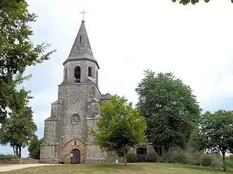 The church in Loubejac | |
Location of Loubejac | |
 Loubejac  Loubejac | |
| Coordinates: 44°35′37″N 1°05′18″E / 44.5936°N 1.0883°E | |
| Country | France |
| Region | Nouvelle-Aquitaine |
| Department | Dordogne |
| Arrondissement | Sarlat-la-Canéda |
| Canton | Vallée Dordogne |
| Government | |
| • Mayor (2020–2026) | Alain Calmeille[1] |
Area 1 | 18.55 km2 (7.16 sq mi) |
| Population (2022)[2] | 256 |
| • Density | 14/km2 (36/sq mi) |
| Time zone | UTC+01:00 (CET) |
| • Summer (DST) | UTC+02:00 (CEST) |
| INSEE/Postal code | 24245 /24550 |
| Elevation | 135–287 m (443–942 ft) (avg. 250 m or 820 ft) |
| 1 French Land Register data, which excludes lakes, ponds, glaciers > 1 km2 (0.386 sq mi or 247 acres) and river estuaries. | |
Loubejac (French pronunciation: [lubʒak]; Occitan: Lobejac) is a commune in the Dordogne department in Nouvelle-Aquitaine in southwestern France.
Population
| Year | Pop. | ±% |
|---|---|---|
| 1962 | 349 | — |
| 1968 | 283 | −18.9% |
| 1975 | 280 | −1.1% |
| 1982 | 253 | −9.6% |
| 1990 | 234 | −7.5% |
| 1999 | 234 | +0.0% |
| 2008 | 247 | +5.6% |
| 2022 | 256 | +3.6% |
See also
References
- ^ "Répertoire national des élus: les maires". data.gouv.fr, Plateforme ouverte des données publiques françaises (in French). 2 December 2020.
- ^ "Populations de référence 2022" (in French). The National Institute of Statistics and Economic Studies. 19 December 2024.
Wikimedia Commons has media related to Loubejac.