Saint-Rabier
Saint-Rabier | |
|---|---|
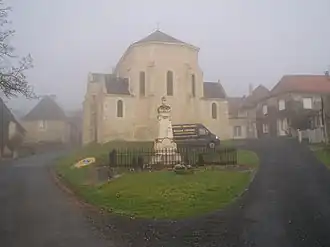 The church in Saint-Rabier | |
.svg.png) Coat of arms | |
Location of Saint-Rabier | |
 Saint-Rabier  Saint-Rabier | |
| Coordinates: 45°10′16″N 1°09′08″E / 45.1711°N 1.1522°E | |
| Country | France |
| Region | Nouvelle-Aquitaine |
| Department | Dordogne |
| Arrondissement | Sarlat-la-Canéda |
| Canton | Haut-Périgord Noir |
| Government | |
| • Mayor (2020–2026) | Claude Delpy[1] |
Area 1 | 15.87 km2 (6.13 sq mi) |
| Population (2022)[2] | 560 |
| • Density | 35/km2 (91/sq mi) |
| Time zone | UTC+01:00 (CET) |
| • Summer (DST) | UTC+02:00 (CEST) |
| INSEE/Postal code | 24491 /24210 |
| Elevation | 117–341 m (384–1,119 ft) (avg. 212 m or 696 ft) |
| 1 French Land Register data, which excludes lakes, ponds, glaciers > 1 km2 (0.386 sq mi or 247 acres) and river estuaries. | |
Saint-Rabier (pronounced [sɛ̃.ʁa.bje]; Occitan: Sent Rabier) is a commune in the Dordogne department in Nouvelle-Aquitaine in southwestern France.
It was recorded as Sanctus Riberius in Medieval Latin.
Population
| Year | Pop. | ±% |
|---|---|---|
| 1962 | 582 | — |
| 1968 | 576 | −1.0% |
| 1975 | 518 | −10.1% |
| 1982 | 580 | +12.0% |
| 1990 | 573 | −1.2% |
| 1999 | 501 | −12.6% |
| 2008 | 550 | +9.8% |
See also
References
- ^ "Répertoire national des élus: les maires". data.gouv.fr, Plateforme ouverte des données publiques françaises (in French). 2 December 2020.
- ^ "Populations de référence 2022" (in French). The National Institute of Statistics and Economic Studies. 19 December 2024.
Wikimedia Commons has media related to Saint-Rabier.