Clérey-sur-Brenon
Clérey-sur-Brenon | |
|---|---|
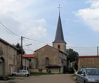 The church in Clérey-sur-Brenon | |
 Coat of arms | |
Location of Clérey-sur-Brenon | |
 Clérey-sur-Brenon  Clérey-sur-Brenon | |
| Coordinates: 48°30′31″N 6°08′17″E / 48.5086°N 6.1381°E | |
| Country | France |
| Region | Grand Est |
| Department | Meurthe-et-Moselle |
| Arrondissement | Nancy |
| Canton | Meine au Saintois |
| Intercommunality | CC Pays du Saintois |
| Government | |
| • Mayor (2024–2026) | Yann Timon[1] |
Area 1 | 4.42 km2 (1.71 sq mi) |
| Population (2022)[2] | 57 |
| • Density | 13/km2 (33/sq mi) |
| Time zone | UTC+01:00 (CET) |
| • Summer (DST) | UTC+02:00 (CEST) |
| INSEE/Postal code | 54132 /54330 |
| Elevation | 233–285 m (764–935 ft) (avg. 260 m or 850 ft) |
| 1 French Land Register data, which excludes lakes, ponds, glaciers > 1 km2 (0.386 sq mi or 247 acres) and river estuaries. | |
Clérey-sur-Brenon is a commune in the Meurthe-et-Moselle department in north-eastern France.
See also
References
- ^ "Répertoire national des élus: les maires" (in French). data.gouv.fr, Plateforme ouverte des données publiques françaises. 12 March 2025.
- ^ "Populations de référence 2022" (in French). The National Institute of Statistics and Economic Studies. 19 December 2024.
Wikimedia Commons has media related to Clérey-sur-Brenon.