Lay-Saint-Christophe
Lay-Saint-Christophe | |
|---|---|
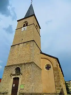 The church in Lay-Saint-Christophe | |
.svg.png) Coat of arms | |
Location of Lay-Saint-Christophe | |
 Lay-Saint-Christophe  Lay-Saint-Christophe | |
| Coordinates: 48°44′56″N 6°12′05″E / 48.7489°N 6.2014°E | |
| Country | France |
| Region | Grand Est |
| Department | Meurthe-et-Moselle |
| Arrondissement | Nancy |
| Canton | Entre Seille et Meurthe |
| Intercommunality | CC Bassin de Pompey |
| Government | |
| • Mayor (2020–2026) | Patrick Medart[1] |
Area 1 | 11.59 km2 (4.47 sq mi) |
| Population (2022)[2] | 2,367 |
| • Density | 200/km2 (530/sq mi) |
| Time zone | UTC+01:00 (CET) |
| • Summer (DST) | UTC+02:00 (CEST) |
| INSEE/Postal code | 54305 /54690 |
| Elevation | 180–380 m (590–1,250 ft) (avg. 200 m or 660 ft) |
| 1 French Land Register data, which excludes lakes, ponds, glaciers > 1 km2 (0.386 sq mi or 247 acres) and river estuaries. | |
Lay-Saint-Christophe (French pronunciation: [lɛ sɛ̃ kʁistɔf]) is a commune in the Meurthe-et-Moselle department in north-eastern France.
Population
| Year | Pop. | ±% p.a. |
|---|---|---|
| 1968 | 1,969 | — |
| 1975 | 2,033 | +0.46% |
| 1982 | 2,281 | +1.66% |
| 1990 | 2,449 | +0.89% |
| 1999 | 2,622 | +0.76% |
| 2007 | 2,617 | −0.02% |
| 2012 | 2,555 | −0.48% |
| 2017 | 2,441 | −0.91% |
| Source: INSEE[3] | ||
See also
References
- ^ "Répertoire national des élus: les maires". data.gouv.fr, Plateforme ouverte des données publiques françaises (in French). 9 August 2021.
- ^ "Populations de référence 2022" (in French). The National Institute of Statistics and Economic Studies. 19 December 2024.
- ^ Population en historique depuis 1968, INSEE
Wikimedia Commons has media related to Lay-Saint-Christophe.