Jayat
Jayat | |
|---|---|
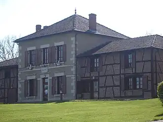 Town hall | |
Location of Jayat | |
 Jayat  Jayat | |
| Coordinates: 46°22′17″N 5°07′18″E / 46.3714°N 5.1217°E | |
| Country | France |
| Region | Auvergne-Rhône-Alpes |
| Department | Ain |
| Arrondissement | Bourg-en-Bresse |
| Canton | Attignat |
| Intercommunality | CA Bassin de Bourg-en-Bresse |
| Government | |
| • Mayor (2020–2026) | Mickaël Morel[1] |
Area 1 | 16.3 km2 (6.3 sq mi) |
| Population (2022)[2] | 1,276 |
| • Density | 78/km2 (200/sq mi) |
| Time zone | UTC+01:00 (CET) |
| • Summer (DST) | UTC+02:00 (CEST) |
| INSEE/Postal code | 01196 /01340 |
| Elevation | 183–218 m (600–715 ft) |
| 1 French Land Register data, which excludes lakes, ponds, glaciers > 1 km2 (0.386 sq mi or 247 acres) and river estuaries. | |
Jayat is a commune in the eastern French department of Ain.
Population
| Year | Pop. | ±% p.a. |
|---|---|---|
| 1968 | 713 | — |
| 1975 | 698 | −0.30% |
| 1982 | 681 | −0.35% |
| 1990 | 650 | −0.58% |
| 1999 | 773 | +1.94% |
| 2009 | 1,021 | +2.82% |
| 2014 | 1,124 | +1.94% |
| 2020 | 1,241 | +1.66% |
| Source: INSEE[3] | ||
See also
References
- ^ "Répertoire national des élus: les maires". data.gouv.fr, Plateforme ouverte des données publiques françaises (in French). 2 December 2020. Archived from the original on 28 June 2020. Retrieved 6 May 2024.
- ^ "Populations de référence 2022" (in French). The National Institute of Statistics and Economic Studies. 19 December 2024.
- ^ Population en historique depuis 1968 Archived 10 December 2023 at the Wayback Machine, INSEE
Wikimedia Commons has media related to Jayat.