Montmerle-sur-Saône
Montmerle-sur-Saône | |
|---|---|
Commune | |
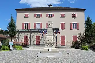 Town hall | |
Location of Montmerle-sur-Saône | |
 Montmerle-sur-Saône  Montmerle-sur-Saône | |
| Coordinates: 46°04′52″N 4°45′32″E / 46.081°N 4.759°E | |
| Country | France |
| Region | Auvergne-Rhône-Alpes |
| Department | Ain |
| Arrondissement | Bourg-en-Bresse |
| Canton | Châtillon-sur-Chalaronne |
| Intercommunality | Val de Saône Centre |
| Government | |
| • Mayor (2020–2026) | Philippe Prost[1] |
Area 1 | 4.16 km2 (1.61 sq mi) |
| Population (2022)[2] | 3,798 |
| • Density | 910/km2 (2,400/sq mi) |
| Time zone | UTC+01:00 (CET) |
| • Summer (DST) | UTC+02:00 (CEST) |
| INSEE/Postal code | 01263 /01090 |
| Elevation | 168–227 m (551–745 ft) (avg. 180 m or 590 ft) |
| 1 French Land Register data, which excludes lakes, ponds, glaciers > 1 km2 (0.386 sq mi or 247 acres) and river estuaries. | |
Montmerle-sur-Saône (French pronunciation: [mɔ̃mɛʁl syʁ son], literally Montmerle on Saône) is a commune in the Ain department in eastern France.
Population
| Year | Pop. | ±% p.a. |
|---|---|---|
| 1968 | 1,273 | — |
| 1975 | 1,505 | +2.42% |
| 1982 | 2,023 | +4.32% |
| 1990 | 2,596 | +3.17% |
| 1999 | 2,830 | +0.96% |
| 2007 | 3,795 | +3.74% |
| 2012 | 3,847 | +0.27% |
| 2017 | 3,793 | −0.28% |
| Source: INSEE[3] | ||
See also
References
- ^ "Répertoire national des élus: les maires". data.gouv.fr, Plateforme ouverte des données publiques françaises (in French). 9 August 2021. Archived from the original on 28 March 2023. Retrieved 6 May 2024.
- ^ "Populations de référence 2022" (in French). The National Institute of Statistics and Economic Studies. 19 December 2024.
- ^ Population en historique depuis 1968 Archived 26 July 2022 at the Wayback Machine, INSEE
Wikimedia Commons has media related to Montmerle-sur-Saône.