Lapeyrugue
Lapeyrugue | |
|---|---|
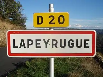 A road sign entering Lapeyrugue | |
Location of Lapeyrugue | |
 Lapeyrugue  Lapeyrugue | |
| Coordinates: 44°43′46″N 2°32′38″E / 44.7294°N 2.5439°E | |
| Country | France |
| Region | Auvergne-Rhône-Alpes |
| Department | Cantal |
| Arrondissement | Aurillac |
| Canton | Arpajon-sur-Cère |
| Government | |
| • Mayor (2020–2026) | Colette Froment[1] |
Area 1 | 8.47 km2 (3.27 sq mi) |
| Population (2022)[2] | 94 |
| • Density | 11/km2 (29/sq mi) |
| Time zone | UTC+01:00 (CET) |
| • Summer (DST) | UTC+02:00 (CEST) |
| INSEE/Postal code | 15093 /15120 |
| Elevation | 272–735 m (892–2,411 ft) (avg. 600 m or 2,000 ft) |
| 1 French Land Register data, which excludes lakes, ponds, glaciers > 1 km2 (0.386 sq mi or 247 acres) and river estuaries. | |
Lapeyrugue (French pronunciation: [lapeʁyɡ]; Occitan: La Peiruga) is a commune in the Cantal department in south-central France.
Population
| Year | Pop. | ±% |
|---|---|---|
| 1962 | 141 | — |
| 1968 | 173 | +22.7% |
| 1975 | 164 | −5.2% |
| 1982 | 167 | +1.8% |
| 1990 | 141 | −15.6% |
| 1999 | 128 | −9.2% |
| 2008 | 104 | −18.8% |
See also
References
- ^ "Répertoire national des élus: les maires". data.gouv.fr, Plateforme ouverte des données publiques françaises (in French). 2 December 2020.
- ^ "Populations de référence 2022" (in French). The National Institute of Statistics and Economic Studies. 19 December 2024.
Wikimedia Commons has media related to Lapeyrugue.