Prunet, Cantal
Prunet | |
|---|---|
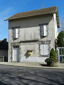 The old post office in Prunet | |
Location of Prunet | |
 Prunet  Prunet | |
| Coordinates: 44°49′17″N 2°27′51″E / 44.8214°N 2.4642°E | |
| Country | France |
| Region | Auvergne-Rhône-Alpes |
| Department | Cantal |
| Arrondissement | Aurillac |
| Canton | Arpajon-sur-Cère |
| Intercommunality | Châtaigneraie Cantalienne |
| Government | |
| • Mayor (2020–2026) | David Ernest[1] |
Area 1 | 27.34 km2 (10.56 sq mi) |
| Population (2022)[2] | 686 |
| • Density | 25/km2 (65/sq mi) |
| Time zone | UTC+01:00 (CET) |
| • Summer (DST) | UTC+02:00 (CEST) |
| INSEE/Postal code | 15156 /15130 |
| Elevation | 639–823 m (2,096–2,700 ft) (avg. 780 m or 2,560 ft) |
| 1 French Land Register data, which excludes lakes, ponds, glaciers > 1 km2 (0.386 sq mi or 247 acres) and river estuaries. | |
Prunet (French pronunciation: [pʁynɛ]) is a commune in the Cantal department in south-central France.
Population
| Year | Pop. | ±% |
|---|---|---|
| 1962 | 436 | — |
| 1968 | 462 | +6.0% |
| 1975 | 445 | −3.7% |
| 1982 | 445 | +0.0% |
| 1990 | 505 | +13.5% |
| 1999 | 517 | +2.4% |
| 2008 | 520 | +0.6% |
| 2022 | 686 | +31.9% |
See also
References
- ^ "Répertoire national des élus: les maires" (in French). data.gouv.fr, Plateforme ouverte des données publiques françaises. 13 September 2022.
- ^ "Populations de référence 2022" (in French). The National Institute of Statistics and Economic Studies. 19 December 2024.
Wikimedia Commons has media related to Prunet (Cantal).