Vebret
Vebret | |
|---|---|
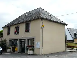 The town hall in Vebret | |
Location of Vebret | |
 Vebret  Vebret | |
| Coordinates: 45°20′25″N 2°31′14″E / 45.3403°N 2.5206°E | |
| Country | France |
| Region | Auvergne-Rhône-Alpes |
| Department | Cantal |
| Arrondissement | Mauriac |
| Canton | Ydes |
| Intercommunality | Sumène Artense |
| Government | |
| • Mayor (2020–2026) | Fabrice Meunier[1] |
Area 1 | 24.43 km2 (9.43 sq mi) |
| Population (2022)[2] | 514 |
| • Density | 21/km2 (54/sq mi) |
| Time zone | UTC+01:00 (CET) |
| • Summer (DST) | UTC+02:00 (CEST) |
| INSEE/Postal code | 15250 /15240 |
| Elevation | 425–727 m (1,394–2,385 ft) (avg. 480 m or 1,570 ft) |
| 1 French Land Register data, which excludes lakes, ponds, glaciers > 1 km2 (0.386 sq mi or 247 acres) and river estuaries. | |
Vebret (French pronunciation: [vəbʁɛ]; Occitan: Vebret) is a commune in the Cantal department in south-central France.
Geography
The river Rhue forms all of the commune's northern border.
Population
| Year | Pop. | ±% |
|---|---|---|
| 1962 | 526 | — |
| 1968 | 578 | +9.9% |
| 1975 | 524 | −9.3% |
| 1982 | 599 | +14.3% |
| 1990 | 533 | −11.0% |
| 1999 | 503 | −5.6% |
| 2008 | 468 | −7.0% |
See also
References
- ^ "Répertoire national des élus: les maires". data.gouv.fr, Plateforme ouverte des données publiques françaises (in French). 9 August 2021.
- ^ "Populations de référence 2022" (in French). The National Institute of Statistics and Economic Studies. 19 December 2024.
Wikimedia Commons has media related to Vebret.