Pailherols
Pailherols | |
|---|---|
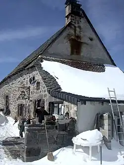 The La Thuilière cheesemaking building, in Pailherols | |
Location of Pailherols | |
 Pailherols  Pailherols | |
| Coordinates: 44°57′06″N 2°41′06″E / 44.9517°N 2.685°E | |
| Country | France |
| Region | Auvergne-Rhône-Alpes |
| Department | Cantal |
| Arrondissement | Aurillac |
| Canton | Vic-sur-Cère |
| Intercommunality | Cère et Goul en Carladès |
| Government | |
| • Mayor (2020–2026) | Claude Prunet[1] |
Area 1 | 25.98 km2 (10.03 sq mi) |
| Population (2022)[2] | 137 |
| • Density | 5.3/km2 (14/sq mi) |
| Time zone | UTC+01:00 (CET) |
| • Summer (DST) | UTC+02:00 (CEST) |
| INSEE/Postal code | 15146 /15800 |
| Elevation | 807–1,632 m (2,648–5,354 ft) (avg. 1,060 m or 3,480 ft) |
| 1 French Land Register data, which excludes lakes, ponds, glaciers > 1 km2 (0.386 sq mi or 247 acres) and river estuaries. | |
Pailherols is a commune in the Cantal department in south-central France.
Population
| Year | Pop. | ±% |
|---|---|---|
| 1962 | 332 | — |
| 1968 | 301 | −9.3% |
| 1975 | 213 | −29.2% |
| 1982 | 195 | −8.5% |
| 1990 | 171 | −12.3% |
| 1999 | 153 | −10.5% |
| 2008 | 169 | +10.5% |
See also
References
- ^ "Répertoire national des élus: les maires" (in French). data.gouv.fr, Plateforme ouverte des données publiques françaises. 13 September 2022.
- ^ "Populations de référence 2022" (in French). The National Institute of Statistics and Economic Studies. 19 December 2024.
Wikimedia Commons has media related to Pailherols.